Template:Besmenian Empire labelled map: Difference between revisions
Jump to navigation
Jump to search
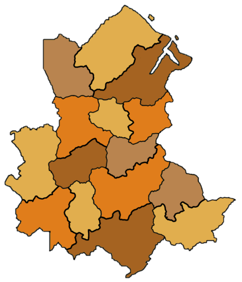
Neuleinster (talk | contribs) (Created page with "{{Image label begin|image=West Besmenia map districts.png|width={{{width|480}}}|float={{{float|none}}}|link=}}{{Image label small|x=-673.0|y=-510.0|scale={{{width|-1}}} |text=20px|about this map|link=Template:Besmenia labelled map<!-- ===== COUNTY LEVEL ===== -->}}{{Image label small|x=-140.0|y=-416.0|scale={{{width|-1}}}|text='''Flommstein'''}} {{Image label small|x=-228.0|y=-300.0|scale={{{width|-1}}}|text='''...") |
Neuleinster (talk | contribs) No edit summary |
||
| Line 1: | Line 1: | ||
{{Image label begin|image=West Besmenia map districts.png|width={{{width|480}}}|float={{{float|none}}}|link=}}{{Image label small|x=- | {{Image label begin|image=West Besmenia map districts.png|width={{{width|480}}}|float={{{float|none}}}|link=}}{{Image label small|x=-443.0|y=-510.0|scale={{{width|-1}}} | ||
|text=[[File:Circle-information.svg|20px|about this map|link=Template:Besmenia labelled map]]<!-- | |text=[[File:Circle-information.svg|20px|about this map|link=Template:Besmenia labelled map]]<!-- | ||
===== COUNTY LEVEL ===== | ===== COUNTY LEVEL ===== | ||