File:Map of the Anglian War.png
Jump to navigation
Jump to search
Size of this preview: 800 × 400 pixels. Other resolution: 2,000 × 1,000 pixels.
Original file (2,000 × 1,000 pixels, file size: 177 KB, MIME type: image/png)
Summary
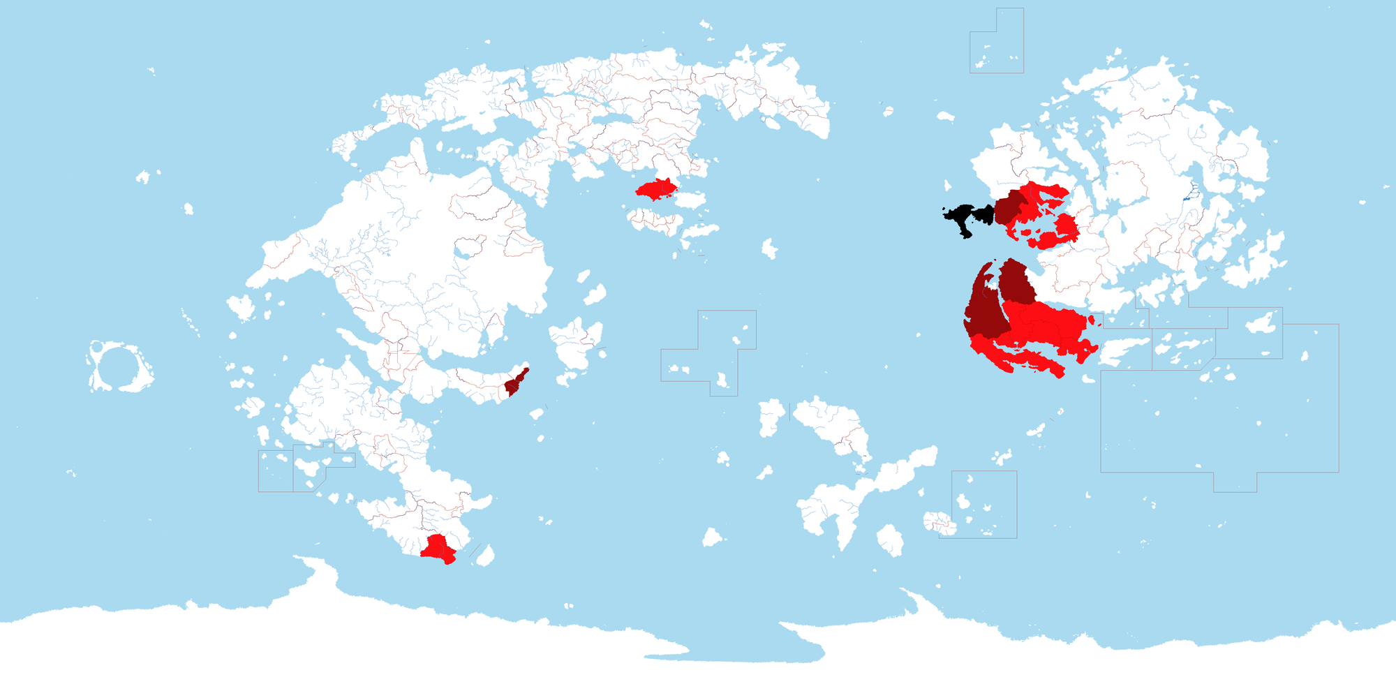
A map made by Zaxar showing the composition and expansion of the Anglian alliance during the Anglian war.
File history
Click on a date/time to view the file as it appeared at that time.
| Date/Time | Thumbnail | Dimensions | User | Comment | |
|---|---|---|---|---|---|
| current | 17:13, 11 February 2022 | | 2,000 × 1,000 (177 KB) | Orioni (talk | contribs) | Category:Great Anglia Category:Maps of Eurth |
You cannot overwrite this file.
File usage
The following page uses this file: