File:Bassiliya location map - inset (1380).png
Jump to navigation
Jump to search

Size of this preview: 800 × 579 pixels. Other resolution: 1,690 × 1,223 pixels.
Original file (1,690 × 1,223 pixels, file size: 38 KB, MIME type: image/png)
Summary
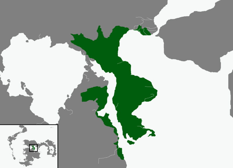
A location map of the Holy Empire of Bassiliya based on the 1380 land survey.
File history
Click on a date/time to view the file as it appeared at that time.
| Date/Time | Thumbnail | Dimensions | User | Comment | |
|---|---|---|---|---|---|
| current | 17:27, 8 February 2023 | | 1,690 × 1,223 (38 KB) | Lies Kryos (talk | contribs) | Setting white background to off-white |
| 17:23, 8 February 2023 |  | 1,690 × 1,223 (52 KB) | Lies Kryos (talk | contribs) | A location map of the Holy Empire of Bassiliya based on the 1380 land survey. |
You cannot overwrite this file.
File usage
There are no pages that use this file.
.png&oldid=644041)