File:Brussels NATO Headquarters.jpg

Original file (3,061 × 1,638 pixels, file size: 5.73 MB, MIME type: image/jpeg)
Summary
| Description |
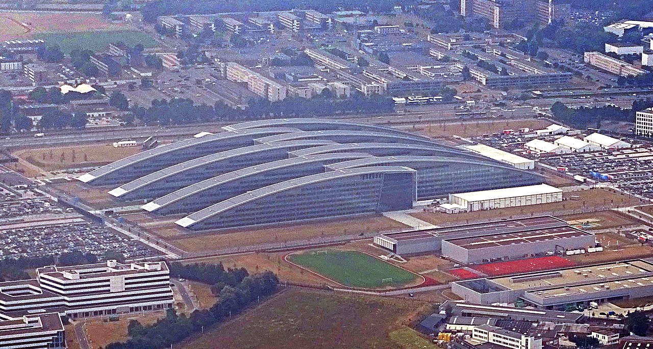
עברית: בבריסלמטה נאט"ו |
| Date | |
| Source | Own work |
| Author | Ad Meskens |
| Camera location | | View this and other nearby images on: OpenStreetMap |
|---|
You are free to use this picture for any purpose as long as you credit its author, Ad Meskens.
Example: © Ad Meskens / Wikimedia Commons
![]() If you use this work outside of the Wikimedia projects, a message or a copy is very much appreciated.
If you use this work outside of the Wikimedia projects, a message or a copy is very much appreciated.
 This image is not in the public domain. A statement such as "From Wikimedia Commons" or similar is not by itself sufficient. If you do not provide clear attribution to the author you didn't comply with the terms of the file's license and may not use this file. If you are unable or unwilling to provide attribution you should contact Ad Meskens to negotiate a different license.
This file has been released under a license which is incompatible with Facebook's licensing terms. It is not permitted to upload this file to Facebook.
![]()
Licensing
- You are free:
- to share – to copy, distribute and transmit the work
- to remix – to adapt the work
- Under the following conditions:
- attribution – You must give appropriate credit, provide a link to the license, and indicate if changes were made. You may do so in any reasonable manner, but not in any way that suggests the licensor endorses you or your use.
- share alike – If you remix, transform, or build upon the material, you must distribute your contributions under the same or compatible license as the original.
File history
Click on a date/time to view the file as it appeared at that time.
| Date/Time | Thumbnail | Dimensions | User | Comment | |
|---|---|---|---|---|---|
| current | 11:37, 21 October 2019 | | 3,061 × 1,638 (5.73 MB) | wikimediacommons>Ssolbergj | crop |
File usage
There are no pages that use this file.