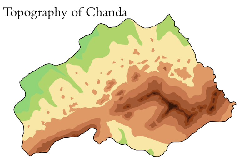
File:Chanda topographic map.png
Jump to navigation
Jump to search

Size of this preview: 800 × 537 pixels. Other resolution: 1,765 × 1,184 pixels.
Original file (1,765 × 1,184 pixels, file size: 249 KB, MIME type: image/png)
File history
Click on a date/time to view the file as it appeared at that time.
| Date/Time | Thumbnail | Dimensions | User | Comment | |
|---|---|---|---|---|---|
| current | 06:18, 16 March 2021 | | 1,765 × 1,184 (249 KB) | Planita13 (talk | contribs) | |
| 19:41, 15 March 2021 |  | 1,765 × 1,212 (229 KB) | Planita13 (talk | contribs) | ||
| 18:37, 15 March 2021 |  | 1,765 × 1,212 (227 KB) | Planita13 (talk | contribs) | ||
| 17:41, 15 March 2021 |  | 1,765 × 1,212 (254 KB) | Planita13 (talk | contribs) |
You cannot overwrite this file.
File usage
There are no pages that use this file.