File:GeordinianProvinces.png
Jump to navigation
Jump to search

No higher resolution available.
GeordinianProvinces.png (754 × 575 pixels, file size: 48 KB, MIME type: image/png)
Summary
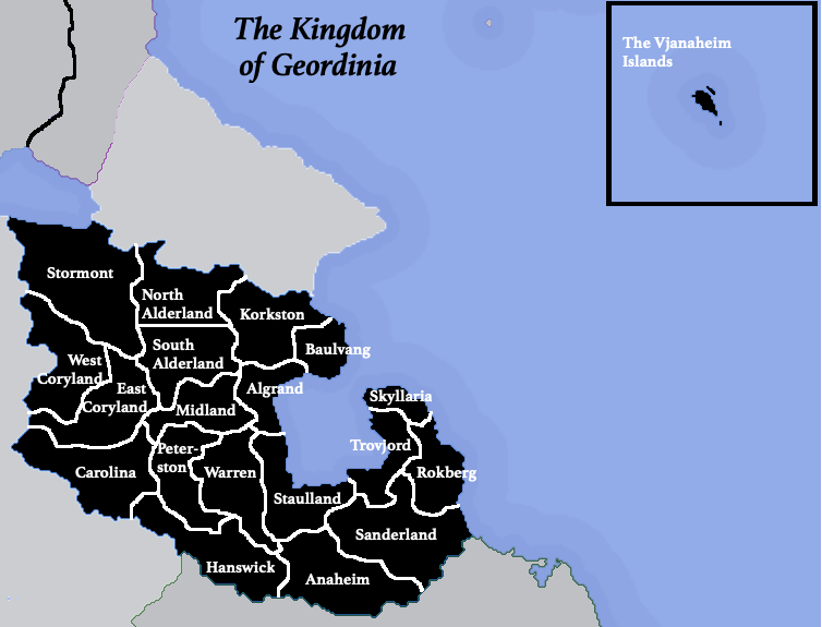
Labelled map of the provinces of Geordinia
File history
Click on a date/time to view the file as it appeared at that time.
| Date/Time | Thumbnail | Dimensions | User | Comment | |
|---|---|---|---|---|---|
| current | 15:58, 18 December 2019 | | 754 × 575 (48 KB) | Geordinia (talk | contribs) | Labelled map of the provinces of Geordinia |
You cannot overwrite this file.
File usage
There are no pages that use this file.