File:Map of Járnger Ðr Province.png
Jump to navigation
Jump to search

Size of this preview: 562 × 599 pixels. Other resolution: 602 × 642 pixels.
Original file (602 × 642 pixels, file size: 149 KB, MIME type: image/png)
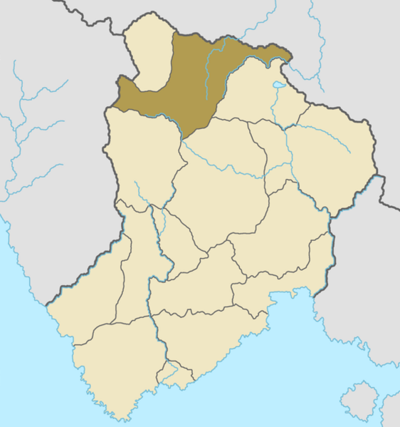
Is a map of the location of Járnger, in dark brown and the other provinces in lighter brown.
File history
Click on a date/time to view the file as it appeared at that time.
| Date/Time | Thumbnail | Dimensions | User | Comment | |
|---|---|---|---|---|---|
| current | 05:13, 12 July 2022 | | 602 × 642 (149 KB) | Gotneska (talk | contribs) |
You cannot overwrite this file.
File usage
The following 2 pages use this file: