File:Map of Orioni.png
Jump to navigation
Jump to search

Size of this preview: 600 × 600 pixels. Other resolution: 2,000 × 2,000 pixels.
Original file (2,000 × 2,000 pixels, file size: 99 KB, MIME type: image/png)
Summary
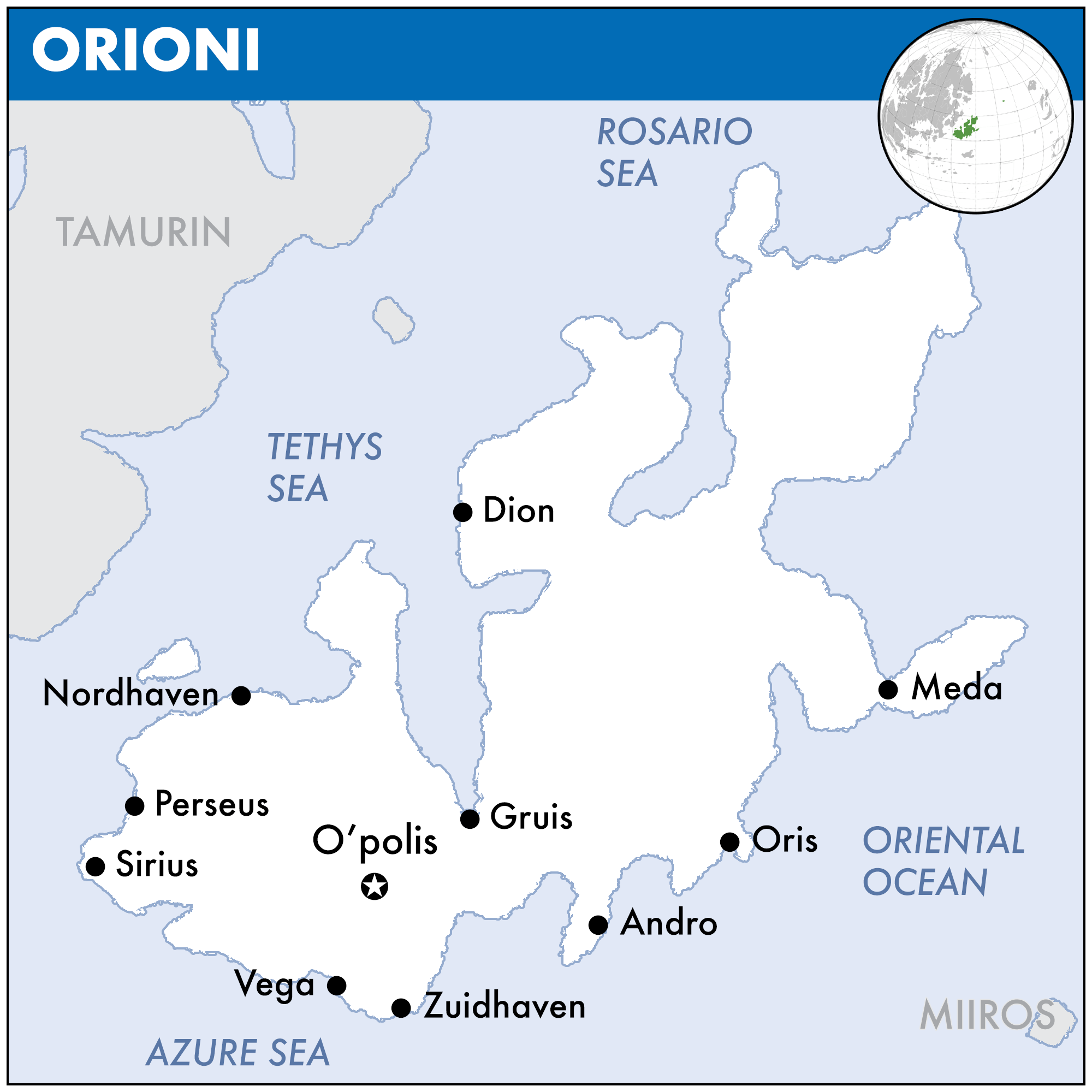
Map of Orioni in the style of the United Nations Office for the Coordination of Humanitarian Affairs (UNOCHA).
File history
Click on a date/time to view the file as it appeared at that time.
| Date/Time | Thumbnail | Dimensions | User | Comment | |
|---|---|---|---|---|---|
| current | 22:43, 17 December 2019 | | 2,000 × 2,000 (99 KB) | Orioni (talk | contribs) | |
| 21:10, 11 October 2019 | 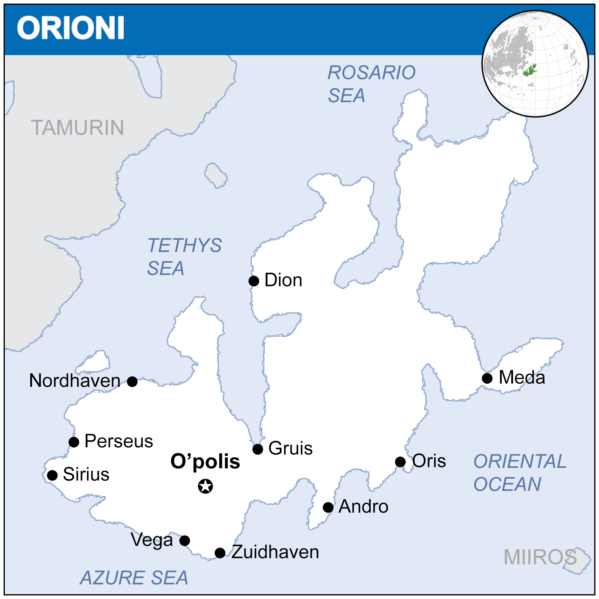 | 2,000 × 2,000 (100 KB) | Orioni (talk | contribs) | ||
| 10:47, 1 September 2019 |  | 2,000 × 1,816 (100 KB) | Orioni (talk | contribs) | ||
| 06:40, 27 August 2019 |  | 2,000 × 1,816 (70 KB) | Orioni (talk | contribs) | Category:Maps Category:Orioni Category:Europa |
You cannot overwrite this file.
File usage
The following 3 pages use this file: