File:Philimania Location Map.png
Jump to navigation
Jump to search

Size of this preview: 660 × 599 pixels. Other resolution: 783 × 711 pixels.
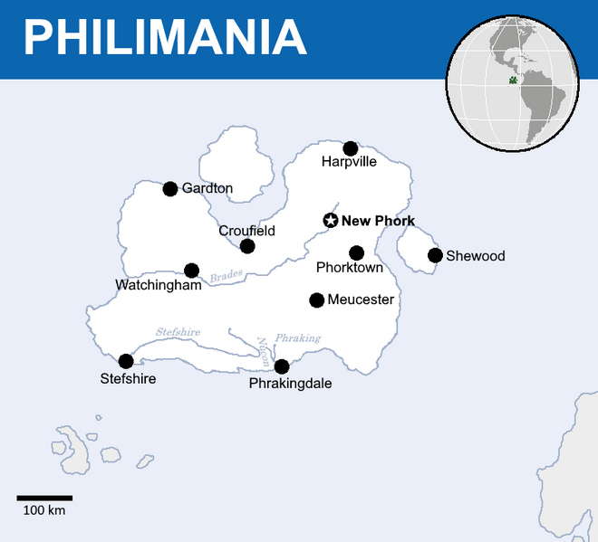
Original file (783 × 711 pixels, file size: 45 KB, MIME type: image/png)
e
File history
Click on a date/time to view the file as it appeared at that time.
| Date/Time | Thumbnail | Dimensions | User | Comment | |
|---|---|---|---|---|---|
| current | 13:19, 9 February 2022 | | 783 × 711 (45 KB) | The American Republic of Philimania (talk | contribs) | Reverted to version as of 05:51, 9 February 2022 (UTC) |
| 13:18, 9 February 2022 | 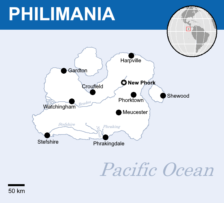 | 783 × 711 (53 KB) | The American Republic of Philimania (talk | contribs) | Reverted to version as of 04:52, 22 August 2021 (UTC) | |
| 05:51, 9 February 2022 |  | 783 × 711 (45 KB) | The American Republic of Philimania (talk | contribs) | ||
| 04:52, 22 August 2021 |  | 783 × 711 (53 KB) | The American Republic of Philimania (talk | contribs) |
You cannot overwrite this file.
File usage
There are no pages that use this file.