File:Rio Priuli o de Santa Sofia (Venice).jpg

Jump to navigation Jump to search

Original file(7,360 × 4,912 pixels, file size: 26.04 MB, MIME type: image/jpeg)

This file is from Wikimedia Commons and may be used by other projects. The description on its file description page there is shown below.

Summary

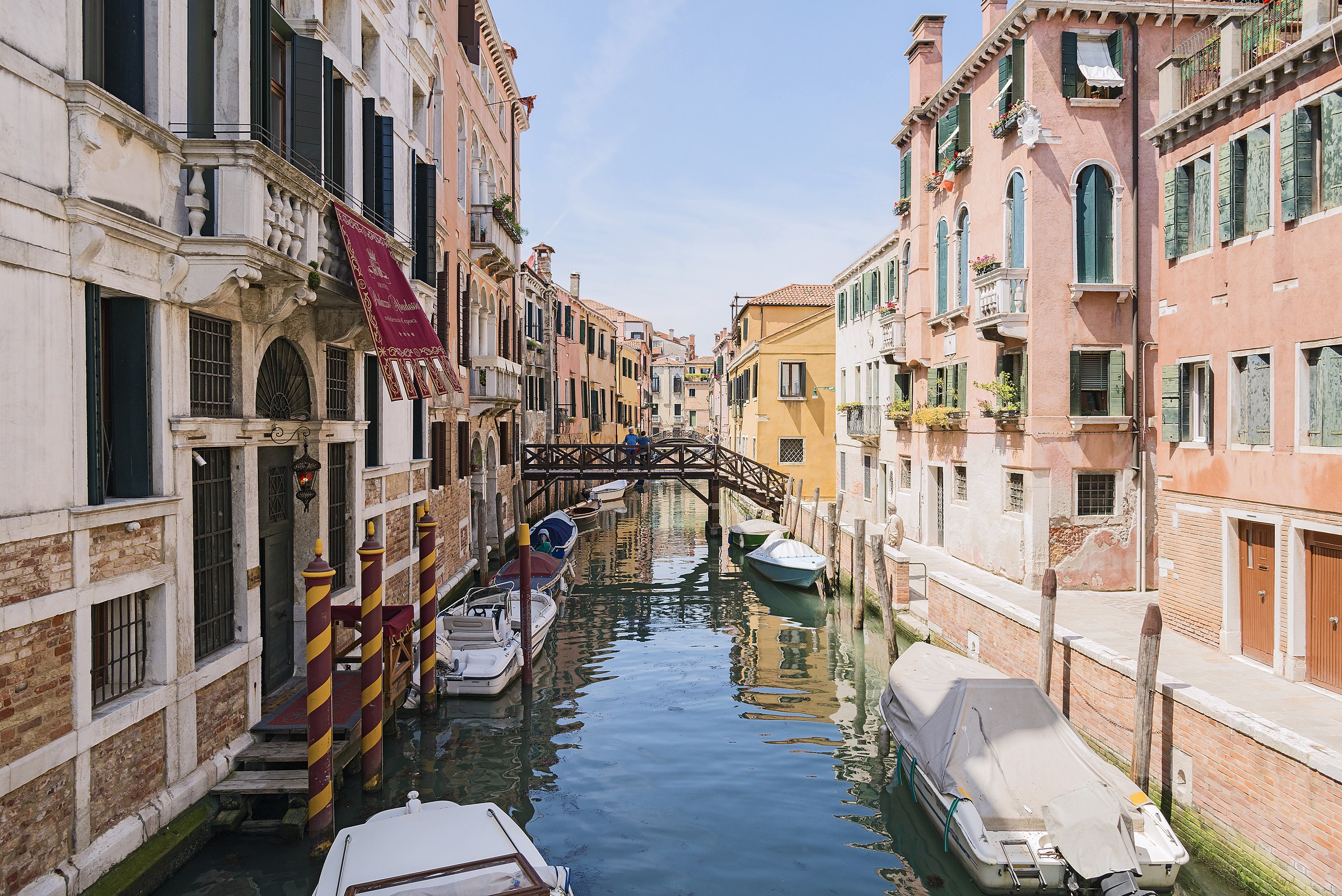
Rio Priuli o de Santa Sofia to Venice - View from Ponte Priuli a Santa Sofia

VI seal

This image has been assessed under the valued image criteria and is considered the most valued image on Commons within the scope: Rio Priuli o de Santa Sofia to Venice. View from Ponte Priuli a Santa Sofia.. You can see its nomination here.

Description
English: Rio Priuli o de Santa Sofia to Venice. View from Ponte Priuli a Santa Sofia.
Français : Rio Priuli o de Santa Sofia à Venise. Vue du Ponte Priuli a Santa Sofia.
Italiano: Rio Priuli o de Santa Sofia a Venezia. Vista del Ponte Priuli a Santa Sofia.
Date Taken on 8 May 2015
Source Own work
Author Didier Descouens
Permission
(Reusing this file)
This file is copyrighted and has been released under a license which is incompatible with Facebook's licensing terms. It is not permitted to upload this file at Facebook.
I, the copyright holder of this work, hereby publish it under the following license:
w:en:Creative Commons
attribution share alike
This file is licensed under the Creative Commons Attribution-Share Alike 4.0 International license.
You are free:
  • to share – to copy, distribute and transmit the work
  • to remix – to adapt the work
Under the following conditions:
  • attribution – You must give appropriate credit, provide a link to the license, and indicate if changes were made. You may do so in any reasonable manner, but not in any way that suggests the licensor endorses you or your use.
  • share alike – If you remix, transform, or build upon the material, you must distribute your contributions under the same or compatible license as the original.
Camera location45° 26′ 30.22″ N, 12° 20′ 08.3″ E Kartographer map based on OpenStreetMap.View this and other nearby images on: OpenStreetMapinfo
Annotations
InfoField
This image is annotated: View the annotations at Commons

Captions

Add a one-line explanation of what this file represents

Items portrayed in this file

depicts

8 May 2015

45°26'30.224"N, 12°20'8.297"E

0.002 second

24 millimetre

File history

Click on a date/time to view the file as it appeared at that time.

Date/TimeThumbnailDimensionsUserComment
current16:31, 25 May 2015Thumbnail for version as of 16:31, 25 May 20157,360 × 4,912 (26.04 MB)wikimediacommons>Archaeodontosaurus{{Information |Description ={{en|1=c}} |Source ={{own}} |Author =Archaeodontosaurus |Date = |Permission = |other_versions = }}

The following page uses this file:

Metadata