File:Zaxar States Map 1.0.jpg
Jump to navigation
Jump to search

Size of this preview: 775 × 599 pixels. Other resolution: 851 × 658 pixels.
Original file (851 × 658 pixels, file size: 194 KB, MIME type: image/jpeg)
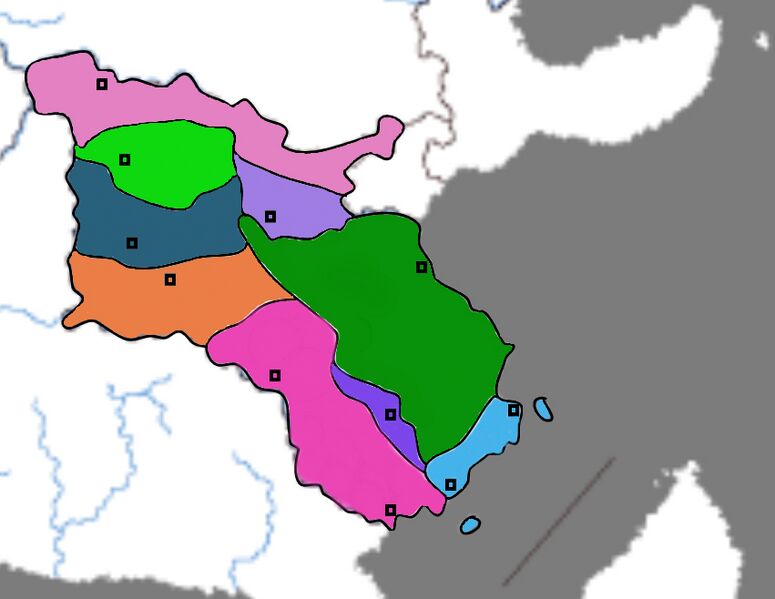
Zaxar Province map.
File history
Click on a date/time to view the file as it appeared at that time.
| Date/Time | Thumbnail | Dimensions | User | Comment | |
|---|---|---|---|---|---|
| current | 04:44, 19 February 2022 | | 851 × 658 (194 KB) | Z2 (talk | contribs) |
You cannot overwrite this file.
File usage
The following page uses this file: