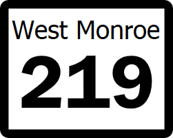
West Monroe State Highway 219: Difference between revisions
Jump to navigation
Jump to search
(Created page with "right|300px {{Infobox road |length_mi=29 |length_ref= |formed=1959 |direction_a=East |terminus_a= 25px|link=West Monroe State Highway 82...") |
No edit summary |
||
| Line 18: | Line 18: | ||
! style="text-align:center; vertical-align:bottom;"| '''Location''' | ! style="text-align:center; vertical-align:bottom;"| '''Location''' | ||
! style="text-align:center; vertical-align:bottom;"| '''Destination''' | ! style="text-align:center; vertical-align:bottom;"| '''Destination''' | ||
|- | |||
| rowspan="3" | [[Wood County, West Monroe|Wood]] | | rowspan="3" | [[Wood County, West Monroe|Wood]] | ||
| | | | ||
Latest revision as of 01:53, 30 August 2022
| Route information | |
|---|---|
| Length | 29 mi (47 km) |
| Existed | 1959–present |
| Major junctions | |
| East end | |
| West end | |
State Highway 219 (SH 219) is a minor, rural east-west highway that runs from SH 82 to SH 184. SH 219 runs through rural Wood County. For its entire length, SH 219 is a two lane highway with a hard shoulder. The roadway passes through no communities and the only feature of note between termini is Adams Bayou.
Major intersections
| County | Location | Destination |
|---|---|---|
| Wood | ||
| Adams Bayou | ||
