Scheduled Maintenance
The wiki will be going down for routine maintenance on Friday, October 4th, 2024, at approximately 3:30 PM Central Time (15:30) or 1:30 PM Pacific Time. The site may be inaccessible during this time and the database will be locked from editing. We expect the maintenance to take about thirty minutes. We strongly encourage joining our Discord for updates.
File:Animated map of territorial changes of Kiyokanai.gif: Difference between revisions
Jump to navigation
Jump to search
No edit summary |
(Heldervin uploaded a new version of File:Animated map of territorial changes of Kiyokanai.gif) |
Latest revision as of 21:50, 2 October 2024
The animated map of the territorial changes of Kiyokanai, from when its city-states were united until its fall.
File history
Click on a date/time to view the file as it appeared at that time.
| Date/Time | Thumbnail | Dimensions | User | Comment | |
|---|---|---|---|---|---|
| current | 21:50, 2 October 2024 | 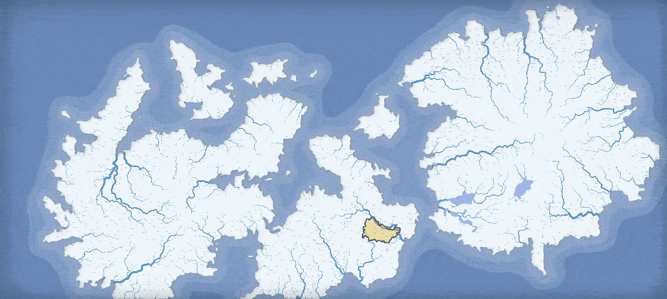 | 1,366 × 612 (569 KB) | Heldervin (talk | contribs) | |
| 21:44, 2 October 2024 |  | 1,366 × 612 (570 KB) | Heldervin (talk | contribs) |
You cannot overwrite this file.
File usage
The following page uses this file: