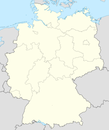
Template:Herschelands States Labelled Map: Difference between revisions
Jump to navigation
Jump to search
(Created page with "{{Image label begin|image=Herschelands States.png|width={{{width|360}}}|float={{{float|right}}}|padding=15px}} <!-- ===== GERMAN REGIONS ===== -->{{Image label small|x=0.5|y=0...") |
No edit summary |
||
| Line 20: | Line 20: | ||
{{Image label small|x=0.341|y=0.066|scale={{{width|360}}}| text=[[Danesland|<i style="color: #48A3B5">Danesland</i>]] }}<!-- | {{Image label small|x=0.341|y=0.066|scale={{{width|360}}}| text=[[Danesland|<i style="color: #48A3B5">Danesland</i>]] }}<!-- | ||
===== SEAS - OCEANS - ETC ===== | ===== SEAS - OCEANS - ETC ===== | ||
-->{{Image label small|x=0.2|y=0.16|scale={{{width|360}}}| text=[[Temud Sea|<i style="color: #48A3B5"> | -->{{Image label small|x=0.2|y=0.16|scale={{{width|360}}}| text=[[Temud Sea|<i style="color: #48A3B5">Temud<br>Sea</i>]] }} | ||
{{Image label small|x=0.79| y=0.08|scale={{{width|360}}}| text=[[Aralo Sea|<i style="color: #48A3B5"> | {{Image label small|x=0.79| y=0.08|scale={{{width|360}}}| text=[[Aralo Sea|<i style="color: #48A3B5">Aralo Sea</i>]] }} | ||
{{Image label end}} | {{Image label end}} | ||
