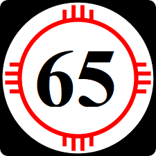
Panamor State Route 65: Difference between revisions
Jump to navigation
Jump to search
No edit summary |
|||
| Line 14: | Line 14: | ||
|terminus_b=[[File:CF-3.png|25px|link=Federal Highway 3]] at [[Allende Jefferson Border Crossing]] into [[Calejo]] | |terminus_b=[[File:CF-3.png|25px|link=Federal Highway 3]] at [[Allende Jefferson Border Crossing]] into [[Calejo]] | ||
}} | }} | ||
'''State | '''State Route 65''' ('''SR 65''') is a highway that runs from [[Panamor State Highway 1]] in [[Rayford, Panamor|Rayford]] to the [[Allende Jefferson Border Crossing]] in rural [[Jefferson County, Panamor|Jefferson County]] | ||
==Major intersections== | ==Major intersections== | ||
| Line 58: | Line 58: | ||
|} | |} | ||
[[Category:State routes in Panamor|065]] | |||
[[Category:State | |||
Latest revision as of 16:59, 16 March 2024
| Route information | |
|---|---|
| Length | 321 mi (517 km) |
| Existed | 1913–present |
| Major junctions | |
| South end | |
| North end | |
State Route 65 (SR 65) is a highway that runs from Panamor State Highway 1 in Rayford to the Allende Jefferson Border Crossing in rural Jefferson County
Major intersections
| County | Location | Destination |
|---|---|---|
| Raymond | Rayford | |
| Baker | ||
| West | Westfield | |
| Pleasanton | ||
| Madej | Madej | |
| Fremont | ||
| Jefferson | Alice | |
| La Jolla | ||
| Allende Jefferson Border Crossing |
