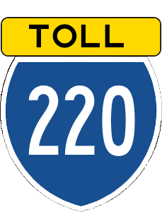
Angola State Road 220
Jump to navigation
Jump to search
| Route information | |
|---|---|
| Length | 33 mi (53 km) |
| Existed | 1990–present |
| Major junctions | |
| East end | |
| West end | |
State Road 220 (SR 220), also known as the East Beach Expressway is a tollway that connects Elizabeth City to the eastern beach suburbs, passing throuh the Elizabeth Meadows National Wildlife Refuge.
Exit List
| County | Location | Milage | Destination | Notes |
|---|---|---|---|---|
| Elizabeth | East Elizabeth Beach | 0.0 | Eastern Terminus, Traffic Light surface intersection | |
| 2 | Market Street | |||
| 4 | East Beach Bridge | Cable-stayed bridge | ||
| 6 | ||||
| 7 | Toll Gantry | |||
| Elizabeth City | 18 | Elizabeth Meadows Road | ||
| 21 | Greenbriar Avenue | |||
| 23 | Green Spring Parkway | |||
| 26 | ||||
| 27 | Toll Gantry | |||
| 29 | Drexel Road | |||
| 32 | Heron Avenue | |||
| 35 | East Monroe Avenue | |||
| 37 | ||||
| 39 | 143rd Street | |||
| 40 | Toll Gantry | |||
| 41 | 137th Street | |||
| 43 | ||||
| 45 | 125th Street, to East | |||
| 47 | West |
