File:Sukong general territories.png
Jump to navigation
Jump to search
Size of this preview: 800 × 400 pixels. Other resolution: 4,000 × 2,000 pixels.
Original file (4,000 × 2,000 pixels, file size: 463 KB, MIME type: image/png)
Summary
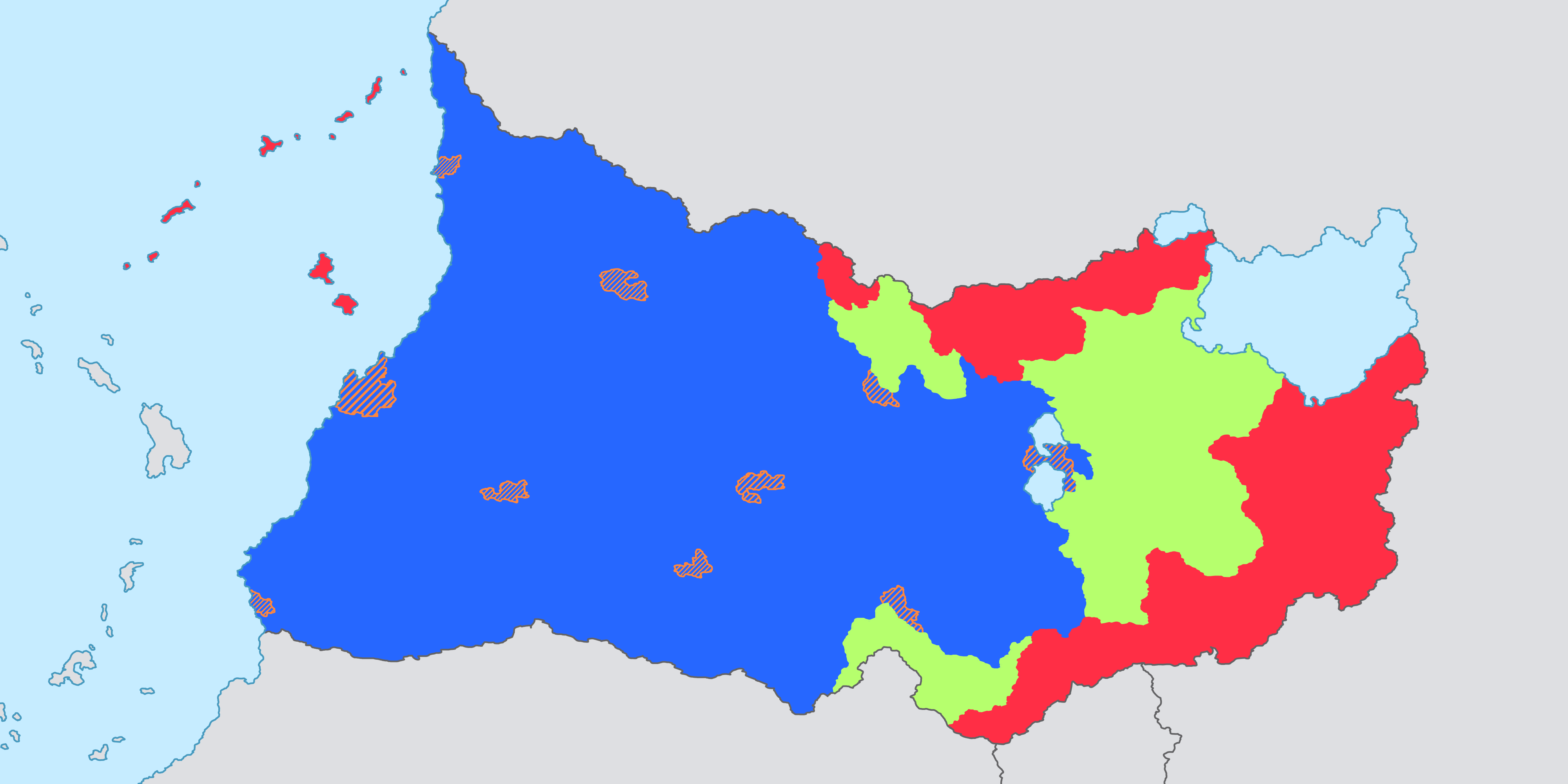
A map showing Sukong land divisions
File history
Click on a date/time to view the file as it appeared at that time.
| Date/Time | Thumbnail | Dimensions | User | Comment | |
|---|---|---|---|---|---|
| current | 10:13, 25 February 2024 | | 4,000 × 2,000 (463 KB) | Weya (talk | contribs) | A map showing Sukong land divisions |
You cannot overwrite this file.
File usage
There are no pages that use this file.