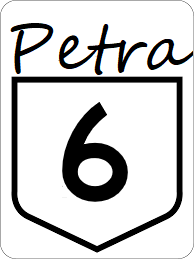
Petra State Highway 6
Jump to navigation
Jump to search
| Route information | |
|---|---|
| Length | 243 mi (391 km) |
| Existed | 1921–present |
| Major junctions | |
| South end | |
| North end | |
Petra State Highway 6 is a minor east-west highway serving rural southeastern Petra.
Major intersections
| County | Location | Destination |
|---|---|---|
| Marlow | Smyrna | |
| Crewe | Greenville | South |
| North | ||
| Abbott | Knoxville | |
| Westwood | Alcoa | |
| Amherst | ||
| Madison River | ||
| River | Maryville | |
| Gregory | Luttrell | |
