File:Gailír Map.png
Jump to navigation
Jump to search
No higher resolution available.
Gailír_Map.png (355 × 409 pixels, file size: 251 KB, MIME type: image/png)
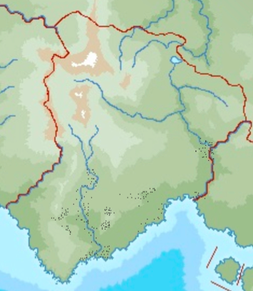
Map of locations where Orthodox Gailír inscriptions have been found.
File history
Click on a date/time to view the file as it appeared at that time.
| Date/Time | Thumbnail | Dimensions | User | Comment | |
|---|---|---|---|---|---|
| current | 18:34, 3 September 2024 | | 355 × 409 (251 KB) | Gotneska (talk | contribs) |
You cannot overwrite this file.
File usage
The following page uses this file: