File:Greypulacanmap.png: Difference between revisions
Jump to navigation
Jump to search
(Grey map of Pulacan, with the nation's land in white and cities labeled. Capitals marked with stars.) |
(Bigmoney uploaded a new version of File:Greypulacanmap.png) |
(No difference)
| |
Revision as of 16:24, 10 October 2022
Summary
Grey map of Pulacan, with the nation's land in white and cities labeled. Capitals marked with stars.
File history
Click on a date/time to view the file as it appeared at that time.
| Date/Time | Thumbnail | Dimensions | User | Comment | |
|---|---|---|---|---|---|
| current | 02:34, 24 April 2023 |  | 700 × 700 (72 KB) | Bigmoney (talk | contribs) | Renamed Tepetenxipalitlan to Aachanecalco |
| 16:24, 10 October 2022 | 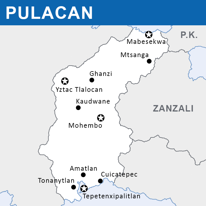 | 700 × 700 (72 KB) | Bigmoney (talk | contribs) | ||
| 21:24, 13 February 2022 | 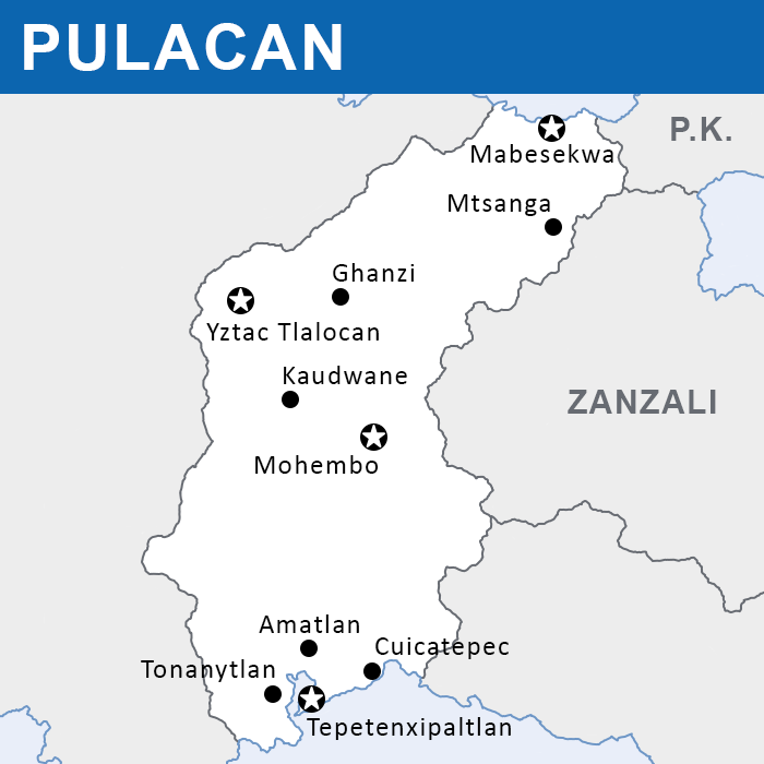 | 700 × 700 (75 KB) | Bigmoney (talk | contribs) | Grey map of Pulacan, with the nation's land in white and cities labeled. Capitals marked with stars. |
You cannot overwrite this file.
File usage
The following page uses this file: