File:Location Map of the Holy Empire of Bassiliya (1380).png
Jump to navigation
Jump to search
.png&diff=prev&oldid=644334)
.png&direction=prev&oldid=644334)

Size of this preview: 800 × 600 pixels. Other resolution: 2,500 × 1,875 pixels.
Original file (2,500 × 1,875 pixels, file size: 41 KB, MIME type: image/png)
Summary
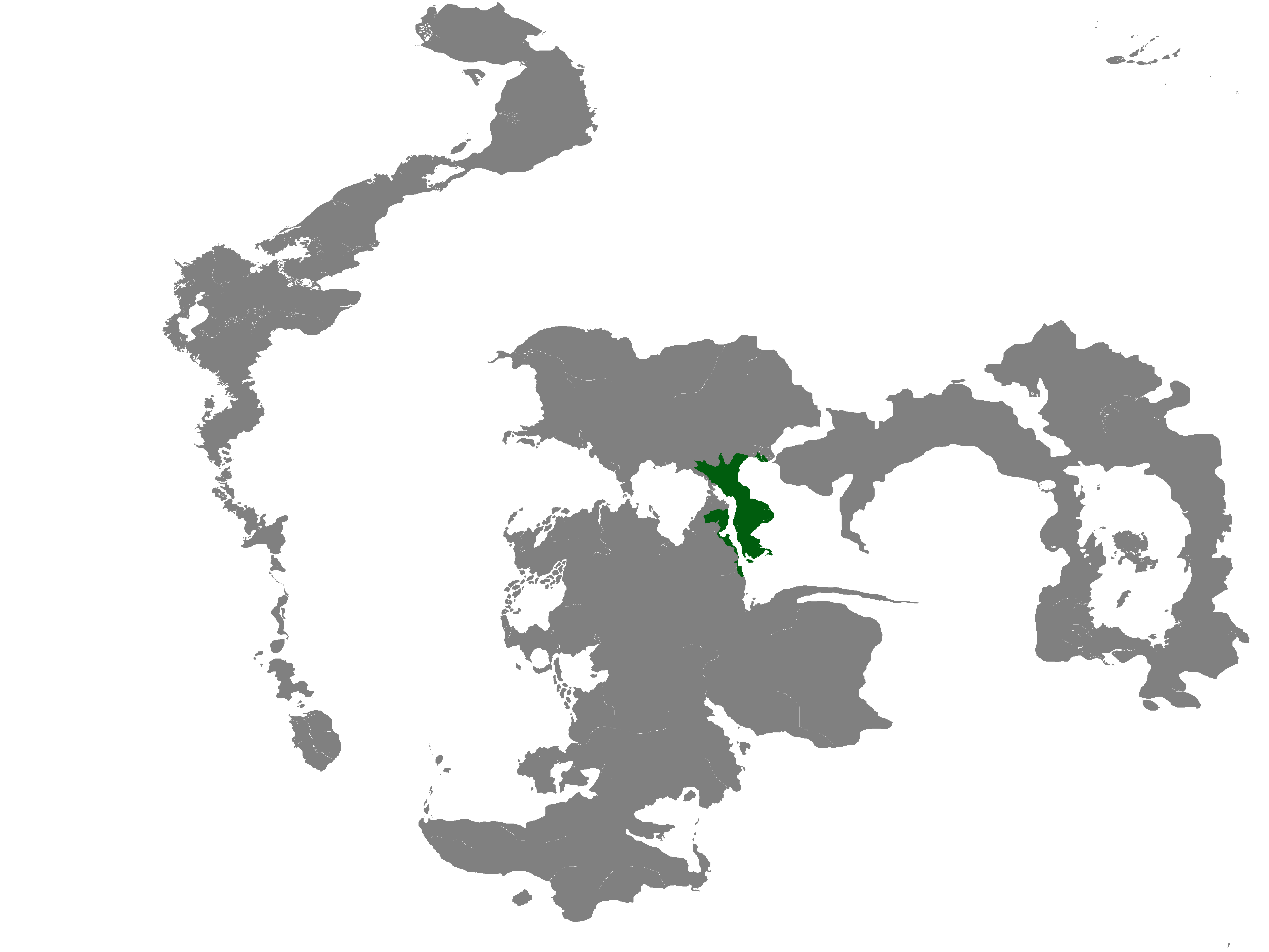
A map showing the location of Bassiliya, circa 1380 IE.
File history
Click on a date/time to view the file as it appeared at that time.
| Date/Time | Thumbnail | Dimensions | User | Comment | |
|---|---|---|---|---|---|
| current | 19:07, 6 February 2023 | | 2,500 × 1,875 (41 KB) | Lies Kryos (talk | contribs) | Scaled to 2500x1875 |
| 19:05, 6 February 2023 | Error creating thumbnail: File with dimensions greater than 12.5 MP | 5,000 × 3,750 (83 KB) | Lies Kryos (talk | contribs) | ||
| 19:02, 6 February 2023 | Error creating thumbnail: File with dimensions greater than 12.5 MP | 8,000 × 6,000 (148 KB) | Lies Kryos (talk | contribs) | ||
| 18:54, 6 February 2023 | Error creating thumbnail: File with dimensions greater than 12.5 MP | 10,000 × 7,500 (220 KB) | Lies Kryos (talk | contribs) | A map showing the location of Bassiliya, circa 1380 IE. |
You cannot overwrite this file.
File usage
There are no pages that use this file.
.png&oldid=644334)