File:Map of A&L.PNG
Jump to navigation
Jump to search
No higher resolution available.
Map_of_A&L.PNG (228 × 182 pixels, file size: 10 KB, MIME type: image/png)
Summary
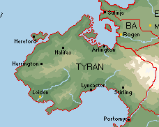
Map of A&L
File history
Click on a date/time to view the file as it appeared at that time.
| Date/Time | Thumbnail | Dimensions | User | Comment | |
|---|---|---|---|---|---|
| current | 11:44, 23 September 2021 | | 228 × 182 (10 KB) | Kingdom of Anglia and Lechernt (talk | contribs) | Map of A&L |
You cannot overwrite this file.
File usage
The following page uses this file: