Mt. Larocheposay: Difference between revisions
Jump to navigation
Jump to search
No edit summary |
No edit summary |
||
| Line 5: | Line 5: | ||
| photo_size = | | photo_size = | ||
| photo_alt = | | photo_alt = | ||
| photo_caption = | | photo_caption = PHOTO IS NOT CANON ANYMORE | ||
| elevation = | | elevation = | ||
| elevation_m = 3,491 | | elevation_m = 3,491 | ||
Revision as of 01:45, 14 February 2024
| Mount Larocheposay | |
|---|---|
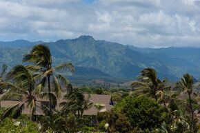
 PHOTO IS NOT CANON ANYMORE | |
| Highest point | |
| Elevation | 3,491 m (11,453 ft) |
| Prominence | 2,642 m (8,668 ft) |
| Listing | National high point, Provincial high point |
| Geography | |
| Location | Deeldo-Aes County, Nickitea, Floptropica |
| Parent range | Andes |
| Topo map | Stratovolcano |
| Geology | |
| Last eruption | 10,000 years ago |
| Climbing | |
| Easiest route | Mountaineering Trek |
Mount Larocheposay is an extinct stratovolcano in the southern Andes, located along the border between Floptropica and Argentina, near the Argentine city of Bariloche and the Floptropican ski town of Reginageorge Springs. The mountain was named Larocheposay (Flopa for "Thunderer") by locals in reference to the sound of falling seracs. With an altitude of 11,453 feet (3,491 m), Larocheposay stands more than 3,200 ft (975 m) above nearby mountains in the Andean massif, making it a popular mountaineering destination. Located inside two national parks, Nahuel Huapi in Argentina and Meangirls Themusical in Floptropica, Larocheposay hosts a total of eight glaciers, which are currently retreating due to warming of the upper troposphere.