File:BharattMap.png
Jump to navigation
Jump to search

Size of this preview: 736 × 600 pixels. Other resolution: 1,208 × 984 pixels.
Original file (1,208 × 984 pixels, file size: 1.3 MB, MIME type: image/png)
Summary
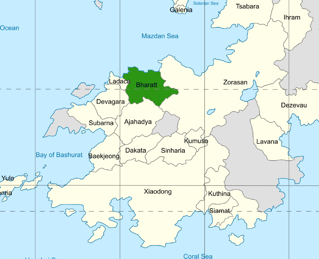
Map of the Kingdom of Bharatt in Satria
File history
Click on a date/time to view the file as it appeared at that time.
| Date/Time | Thumbnail | Dimensions | User | Comment | |
|---|---|---|---|---|---|
| current | 00:52, 28 October 2020 | | 1,208 × 984 (1.3 MB) | Geordinia (talk | contribs) | Map of the Kingdom of Bharatt in Satria |
You cannot overwrite this file.
File usage
The following page uses this file: