File:Carte Belfort.png
Jump to navigation
Jump to search

Size of this preview: 606 × 599 pixels. Other resolution: 706 × 698 pixels.
Original file (706 × 698 pixels, file size: 68 KB, MIME type: image/png)
Summary
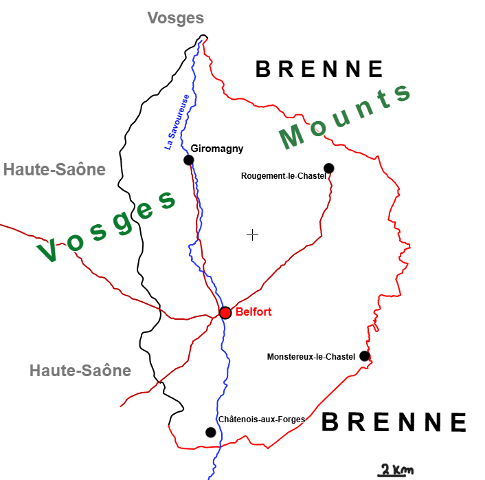
Map of the voiseyian part of Belfort Territory. Made by myself.
File history
Click on a date/time to view the file as it appeared at that time.
| Date/Time | Thumbnail | Dimensions | User | Comment | |
|---|---|---|---|---|---|
| current | 14:07, 21 October 2024 | | 706 × 698 (68 KB) | Voisey (talk | contribs) | Added the number on scale (2km) |
| 14:02, 21 October 2024 |  | 706 × 698 (67 KB) | Voisey (talk | contribs) | Added the scale (= 5km) | |
| 13:57, 21 October 2024 |  | 706 × 698 (67 KB) | Voisey (talk | contribs) | Map of the voiseyian part of Belfort Territory. Made by myself. |
You cannot overwrite this file.
File usage
The following page uses this file: