File:Girbetalocationsmap.png
Jump to navigation
Jump to search

No higher resolution available.
Girbetalocationsmap.png (368 × 209 pixels, file size: 28 KB, MIME type: image/png)
Summary
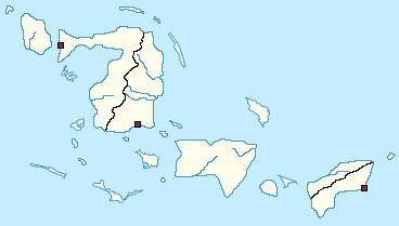
A map showing the largest inhabited islands in the Tichvaist Union of Girbeta, as well as divisions of the larger islands and the locations of National Cities.
File history
Click on a date/time to view the file as it appeared at that time.
| Date/Time | Thumbnail | Dimensions | User | Comment | |
|---|---|---|---|---|---|
| current | 02:04, 18 May 2020 | | 368 × 209 (28 KB) | Renegade ginger (talk | contribs) | A map showing the largest inhabited islands in the Tichvaist Union of Girbeta, as well as divisions of the larger islands and the locations of National Cities. |
You cannot overwrite this file.
File usage
The following 3 pages use this file: