File:Isla de Flores Map.png
Jump to navigation
Jump to search

Size of this preview: 800 × 328 pixels. Other resolution: 1,599 × 656 pixels.
Original file (1,599 × 656 pixels, file size: 59 KB, MIME type: image/png)
Summary
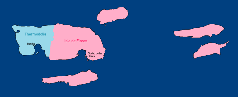
Political Map of Isla de Flores
File history
Click on a date/time to view the file as it appeared at that time.
| Date/Time | Thumbnail | Dimensions | User | Comment | |
|---|---|---|---|---|---|
| current | 23:15, 22 August 2019 | 1,599 × 656 (59 KB) | Thermodolia (talk | contribs) | Political Map of Isla de Flores |
You cannot overwrite this file.
File usage
There are no pages that use this file.