File:Map of Costa Bravo zoom.png
Jump to navigation
Jump to search


Size of this preview: 800 × 421 pixels. Other resolution: 1,900 × 1,000 pixels.
Original file (1,900 × 1,000 pixels, file size: 325 KB, MIME type: image/png)
Summary
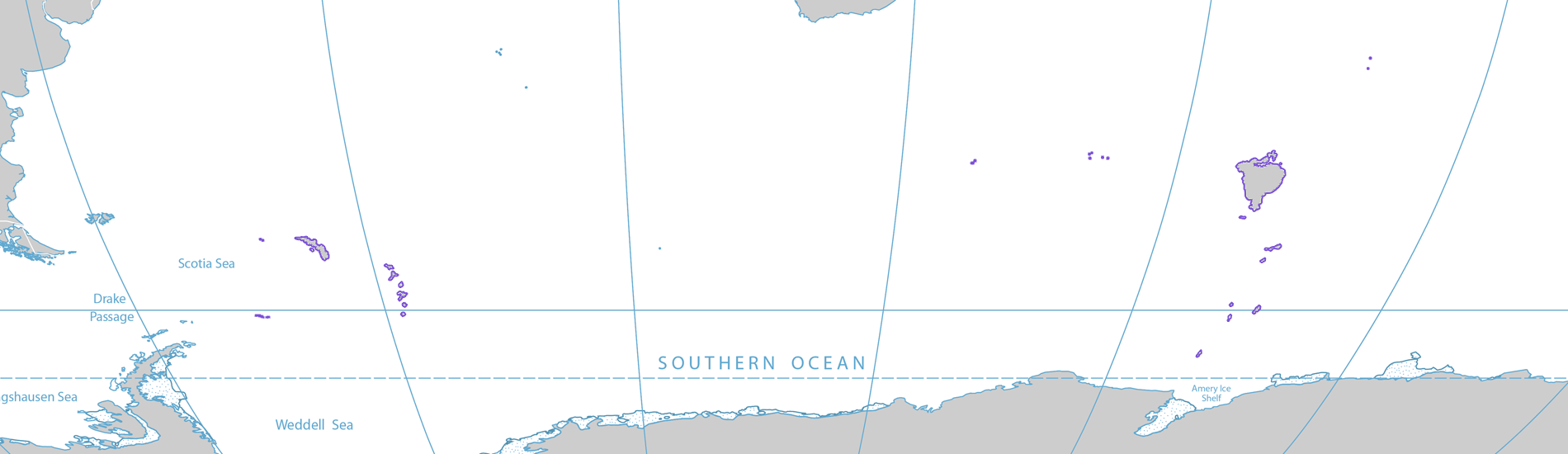
Showing Costa Bravo's location in the South Atlantic and Southern Indian Ocean.
File history
Click on a date/time to view the file as it appeared at that time.
| Date/Time | Thumbnail | Dimensions | User | Comment | |
|---|---|---|---|---|---|
| current | 02:08, 10 December 2019 | | 1,900 × 1,000 (325 KB) | Costa Bravo (talk | contribs) | |
| 00:13, 3 December 2019 |  | 1,900 × 1,000 (324 KB) | Costa Bravo (talk | contribs) | Reverted to version as of 00:11, 3 December 2019 (UTC) | |
| 00:13, 3 December 2019 | 1,900 × 550 (170 KB) | Costa Bravo (talk | contribs) | |||
| 00:11, 3 December 2019 | 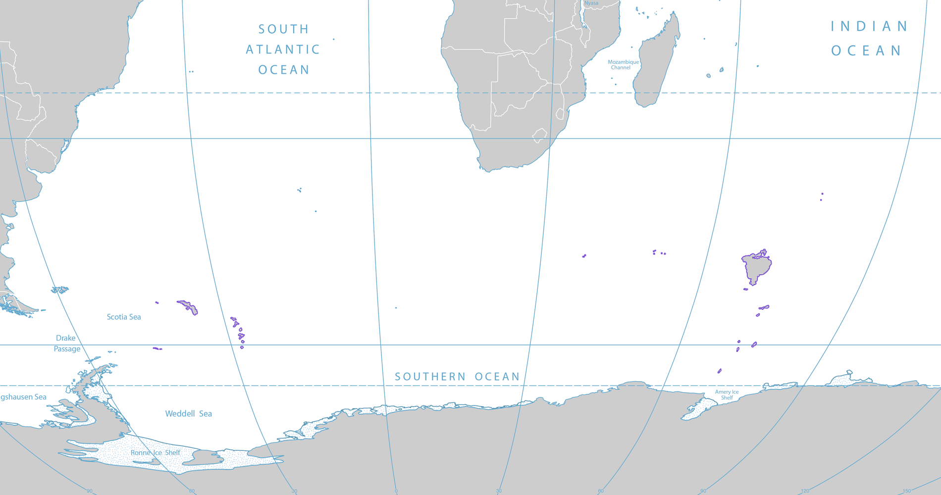 | 1,900 × 1,000 (324 KB) | Costa Bravo (talk | contribs) | Showing Costa Bravo's location in the South Atlantic and Southern Indian Ocean. |
You cannot overwrite this file.
File usage
There are no pages that use this file.