File:Mygona Official Map.png
Jump to navigation
Jump to search

Size of this preview: 600 × 600 pixels. Other resolution: 1,750 × 1,750 pixels.
Original file (1,750 × 1,750 pixels, file size: 773 KB, MIME type: image/png)
Summary
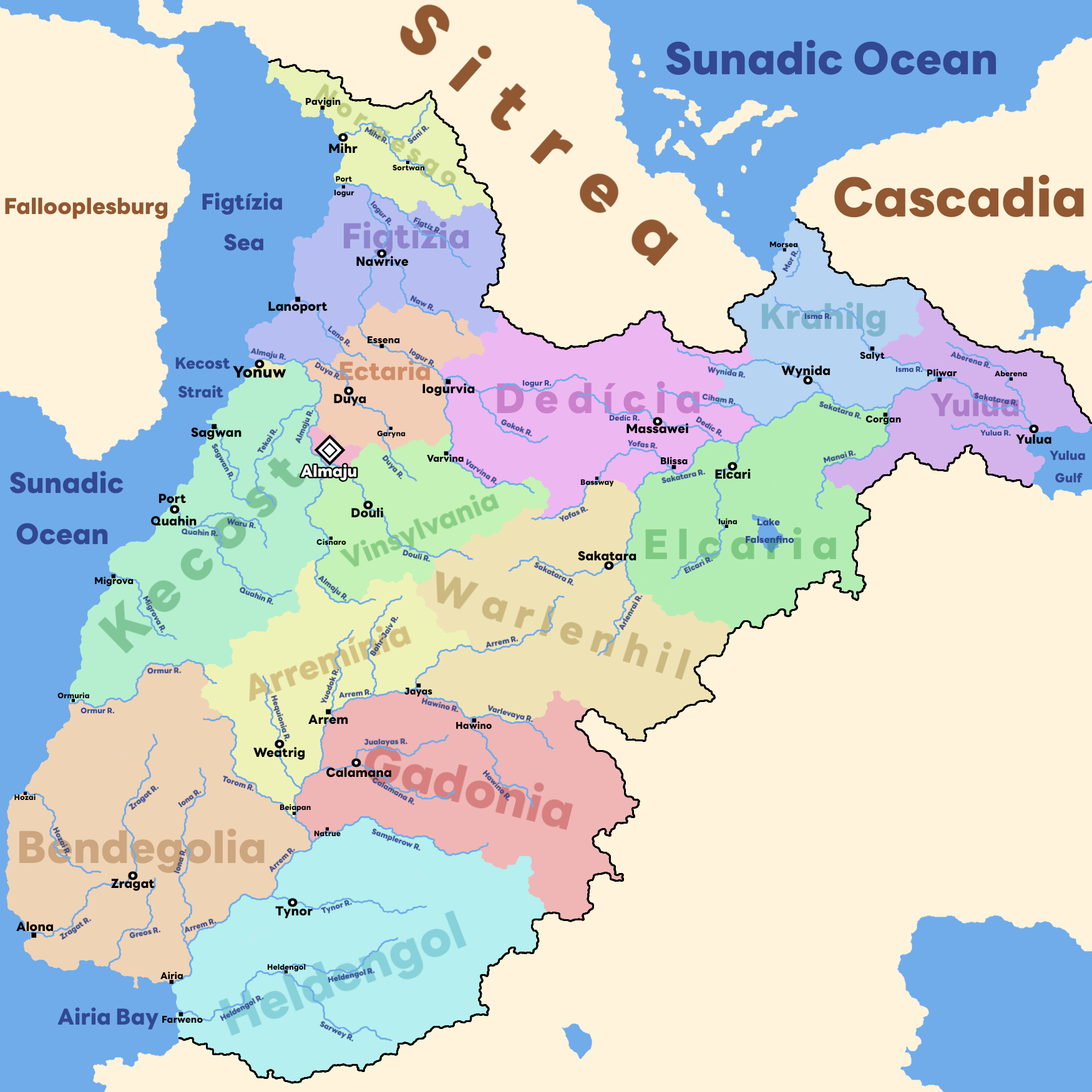
Mygona Provinces Map
File history
Click on a date/time to view the file as it appeared at that time.
| Date/Time | Thumbnail | Dimensions | User | Comment | |
|---|---|---|---|---|---|
| current | 16:49, 5 March 2023 | | 1,750 × 1,750 (773 KB) | Mygona (talk | contribs) | Mygona Provinces Map |
You cannot overwrite this file.
File usage
The following file is a duplicate of this file (more details):
The following page uses this file: