File:RajyagharStateMap.png
Jump to navigation
Jump to search

No higher resolution available.
RajyagharStateMap.png (243 × 234 pixels, file size: 38 KB, MIME type: image/png)
Summary
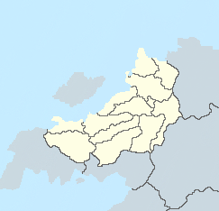
Blank map of the states of Rajyaghar
File history
Click on a date/time to view the file as it appeared at that time.
| Date/Time | Thumbnail | Dimensions | User | Comment | |
|---|---|---|---|---|---|
| current | 15:29, 14 July 2023 | | 243 × 234 (38 KB) | Geordinia (talk | contribs) | |
| 21:12, 20 April 2021 | 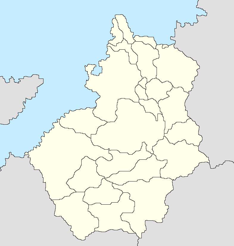 | 786 × 827 (35 KB) | Geordinia (talk | contribs) | Reverted to version as of 19:43, 2 March 2021 (UTC) | |
| 18:48, 20 April 2021 |  | 786 × 827 (35 KB) | Geordinia (talk | contribs) | ||
| 19:43, 2 March 2021 |  | 786 × 827 (35 KB) | Geordinia (talk | contribs) | Blank map of the states of Rajyaghar |
You cannot overwrite this file.
File usage
The following 3 pages use this file: