File:Santian empire map c.1550.png
Jump to navigation
Jump to search

No higher resolution available.
Santian_empire_map_c.1550.png (657 × 491 pixels, file size: 4 KB, MIME type: image/png)
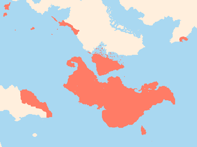
The extent of the Santian empire circa 1550
File history
Click on a date/time to view the file as it appeared at that time.
| Date/Time | Thumbnail | Dimensions | User | Comment | |
|---|---|---|---|---|---|
| current | 11:38, 25 July 2023 | | 657 × 491 (4 KB) | LA (talk | contribs) |
You cannot overwrite this file.
File usage
The following page uses this file: