File:Settlement Map - Aizawa (iiwiki).png
Jump to navigation
Jump to search

Size of this preview: 578 × 599 pixels. Other resolutions: 1,975 × 2,048 pixels | 3,345 × 3,468 pixels.
Original file (3,345 × 3,468 pixels, file size: 376 KB, MIME type: image/png)
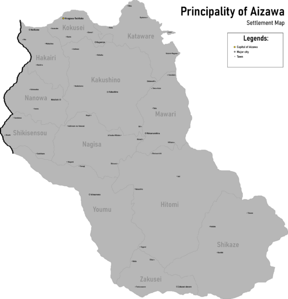
Summary
A map outlining the regions and settlements of Aizawa.
File history
Click on a date/time to view the file as it appeared at that time.
| Date/Time | Thumbnail | Dimensions | User | Comment | |
|---|---|---|---|---|---|
| current | 17:05, 3 December 2020 | | 3,345 × 3,468 (376 KB) | Tsumiki (talk | contribs) | (darkened version) |
| 16:54, 3 December 2020 |  | 3,345 × 3,468 (414 KB) | Tsumiki (talk | contribs) | A map outlining the regions and settlements of Aizawa. |
You cannot overwrite this file.
File usage
The following page uses this file:
.png&oldid=282553)