File:Sulivannia Topographic Map (with international and state borders).png
Jump to navigation
Jump to search


Size of this preview: 800 × 559 pixels. Other resolution: 2,500 × 1,748 pixels.
Original file (2,500 × 1,748 pixels, file size: 1.69 MB, MIME type: image/png)
Summary
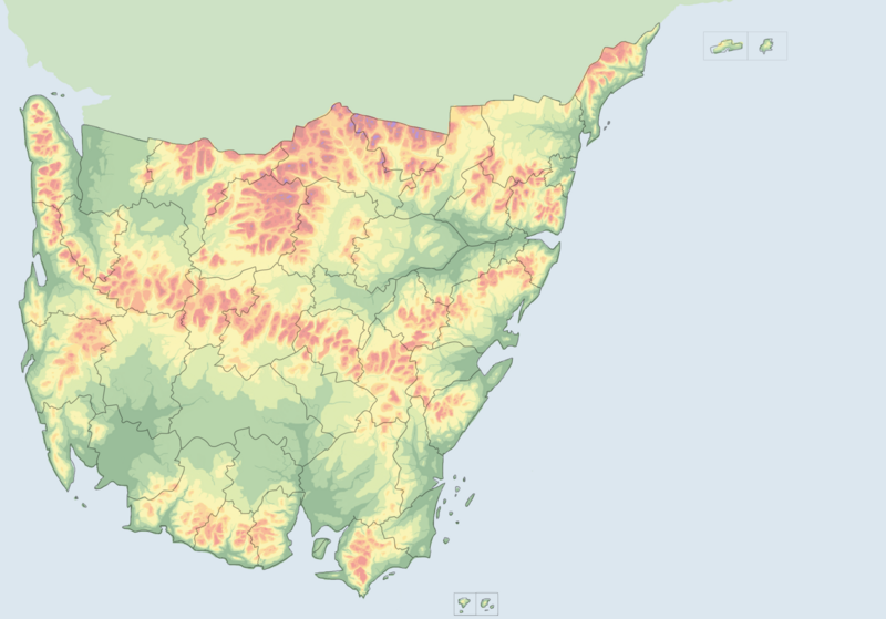
Sulivannia Topographic Map (with international and state borders)
File history
Click on a date/time to view the file as it appeared at that time.
| Date/Time | Thumbnail | Dimensions | User | Comment | |
|---|---|---|---|---|---|
| current | 05:56, 3 October 2020 | | 2,500 × 1,748 (1.69 MB) | TheFifthHour (talk | contribs) | Sulivannia Topographic Map (with international and state borders) |
You cannot overwrite this file.
File usage
There are no pages that use this file.
.png&oldid=256869)