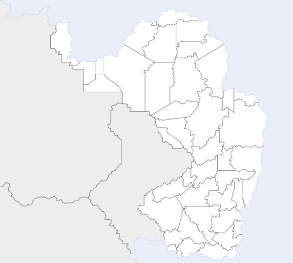
Template:Maucha labelled map: Difference between revisions
Jump to navigation
Jump to search
No edit summary |
No edit summary |
||
| Line 26: | Line 26: | ||
{{Image label small|x=-497|y=-260|scale={{{width|-1}}}|text=[[Pfenhafen State|19]]}} | {{Image label small|x=-497|y=-260|scale={{{width|-1}}}|text=[[Pfenhafen State|19]]}} | ||
{{Image label small|x=-418|y=-315|scale={{{width|-1}}}|text=[[Mhlanga State|20]]}} | {{Image label small|x=-418|y=-315|scale={{{width|-1}}}|text=[[Mhlanga State|20]]}} | ||
{{Image label small|x=-505|y=-326|scale={{{width|-1}}}|text=[[Onikhumkuste State|21]]}} | |||
{{Image label small|x=-457|y=-337|scale={{{width|-1}}}|text=[[Klippelhugel State|22]]}} | |||
{{Image label small|x=-458|y=-369|scale={{{width|-1}}}|text=[[Odimpopa State|23]]}} | |||
{{Image label small|x=-485|y=-404|scale={{{width|-1}}}|text=[[Untere Iwoye State|24]]}} | |||
{{Image label small|x=-453|y=-409|scale={{{width|-1}}}|text=[[Westliche Iwoye State|25]]}} | |||
<!-- | <!-- | ||
