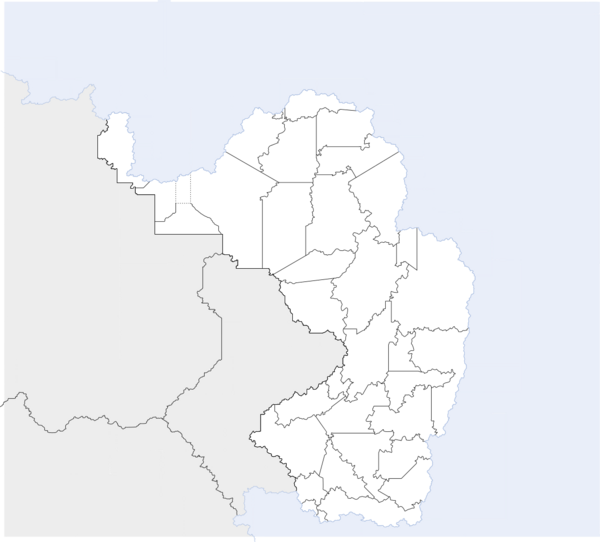
Template:Maucha labelled map: Difference between revisions
Jump to navigation
Jump to search
No edit summary |
No edit summary |
||
| Line 10: | Line 10: | ||
{{Image label small|x=-166.0|y=-200.5|scale={{{width|-1}}}|text=[[Federal Territory of Harara|2]]}} | {{Image label small|x=-166.0|y=-200.5|scale={{{width|-1}}}|text=[[Federal Territory of Harara|2]]}} | ||
{{Image label small|x=-188.0|y=-223.0|scale={{{width|-1}}}|text=[[Mauchian Kuloland|3]]}} | {{Image label small|x=-188.0|y=-223.0|scale={{{width|-1}}}|text=[[Mauchian Kuloland|3]]}} | ||
{{Image label small|x=- | {{Image label small|x=-278.0|y=-108.0|scale={{{width|-1}}}|text=[[Kanyabahayadha|4]]}} | ||
{{Image label small|x=- | {{Image label small|x=-260.0|y=-138.0|scale={{{width|-1}}}|text=[[Yalansa State|5]]}} | ||
{{Image label small|x=- | {{Image label small|x=-306.0|y=-107.0|scale={{{width|-1}}}|text=[[Watisa State|6]]}} | ||
{{Image label small|x=- | {{Image label small|x=-297.0|y=-155.0|scale={{{width|-1}}}|text=[[Untere Feda State|7]]}} | ||
{{Image label small|x=-318.0|y=-259.0|scale={{{width|-1}}}|text=[[Obere Feda State|8]]}} | {{Image label small|x=-318.0|y=-259.0|scale={{{width|-1}}}|text=[[Obere Feda State|8]]}} | ||
{{Image label small|x=- | {{Image label small|x=-342.0|y=-151.0|scale={{{width|-1}}}|text=[[Kikomakoma State|9]]}} | ||
{{Image label small|x=-384|y=-183|scale={{{width|-1}}}|text=[[Nyekundu State|10]]}} | {{Image label small|x=-384|y=-183|scale={{{width|-1}}}|text=[[Nyekundu State|10]]}} | ||
{{Image label small|x=-424|y=-233|scale={{{width|-1}}}|text=[[Red Nation|11]]}} | {{Image label small|x=-424|y=-233|scale={{{width|-1}}}|text=[[Red Nation|11]]}} | ||
