Platte County, Hamilton: Difference between revisions
(Created page with "{{Infobox Ibican county |county = Platte County |state = Hamilton |type = County |seal = Platte County...") |
|||
| Line 66: | Line 66: | ||
==Communities== | ==Communities== | ||
==Cities== | |||
* [[Cook, Hamilton|Cook]] | * [[Cook, Hamilton|Cook]] | ||
* [[Glenrock, Hamilton|Glenrock]] | * [[Glenrock, Hamilton|Glenrock]] | ||
| Line 71: | Line 73: | ||
* [[Union, Hamilton|Union]] | * [[Union, Hamilton|Union]] | ||
* [[Vermont, Hamilton|Vermont]] (County Seat) | * [[Vermont, Hamilton|Vermont]] (County Seat) | ||
===Unincorporated Communities=== | |||
* [[Benbrook, Hamilton|Benbrook]] | |||
* [[North Vermont, Hamilton|North Vermont]] | |||
{{Platte County, Hamilton}} | {{Platte County, Hamilton}} | ||
Revision as of 16:07, 12 June 2023
Platte County | |
|---|---|
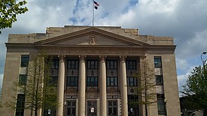
 The Ibican Post Office and Historic Court House in Vermont (2013) | |
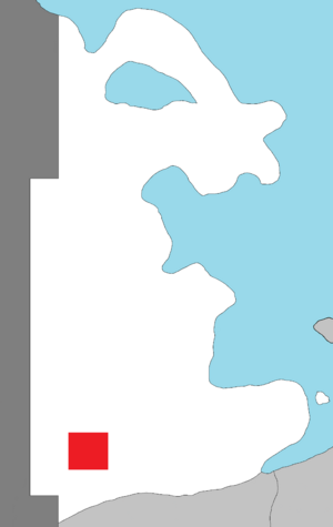
 Location within the state of Hamilton | |
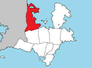
 Hamilton's location within Ibica | |
| Country | |
| State | |
| Founded | January 1, 1701 |
| County seat | Vermont |
| Largest city | Vermont |
| Area | |
| • Total | 556 sq mi (1,440 km2) |
| • Land | 544 sq mi (1,410 km2) |
| • Water | 12 sq mi (30 km2) 2.1% |
| Population ({{{2}}}) | |
| • Total | 632,104 |
}}
Platte County is located in northeast Hamilton, in northwestern Ibica. Its county seat and most populous city is Vermont, the state capital. As of the 2020 census, the population was 632,104, making it the second-most populous county in Hamilton. The county was one of the original 33 counties created by the first territorial legislature in 1701.
Geography
Platte County is in the southwestern part of Hamilton, about fifty miles north of Calahan. According to the Ibican Census Bureau, the county has an area of 556 square miles (1,440 km2), of which 544 square miles (1,410 km2) is land and 12 square miles (31 km2) (2.1%) is water.
The Vermont River runs northeast-west across the county, just north of the center. The city of Vermont mostly lies to the south of the river, with the downtown area along the south bank of the river. There is little or no current major river traffic, but it is used extensively for irrigation in the county.
The soil is a rich dark loam, varying from fifteen feet in some parts of the bottoms, to a uniform surface covering the upland prairie from one to three feet. The underlying formation is limestone. Beds of clay, are well distributed. Coal is found in detached and non-continuous beds, and is mined in a small way for local purposes.
Adjacent counties
- Scott County - north
- Sheridan County - northeast
- Polk County - east
- Willow County - south
- Perkins County - southwest
- Merrick County - west
Government
State
Being Home to the Hamilton State Capitol, most of the state goverment's agencies operate out of offices within the county. Glenrock is host to the Glenrock Womens Correctional Center, the women's prison for the southern part of the state. The Hamilton State Health Service operates the Vermont State Hospital in the county.
Education
Colleges and universities
School districts
All of the county is served by Platte County Public Schools
Transportation
Interstate 70 crosses the county east-west. Interstate 5 crosses the county north to south as well as Ibican Route 88. Interstate 205 provides a loop around the main urban area. Ibican Route 150 begins in Vermont and goes south to Cuyoga. Hamilton State Highway 1 crosses through the county as well from southeast to northeast.
Vermont International Airport is south of Vermont, outside of Cook. The airport shares its runways with Air Force Base Vermont.
