Albion State Route 7: Difference between revisions
Jump to navigation
Jump to search
No edit summary |
No edit summary |
||
| Line 14: | Line 14: | ||
|terminus_b=[[File:US 74.svg|25px|link=Ibican Route 74]][[File:AL-1.png|25px|link=Albion State Route 1]] in [[Woodbury, Albion|Woodbury]] | |terminus_b=[[File:US 74.svg|25px|link=Ibican Route 74]][[File:AL-1.png|25px|link=Albion State Route 1]] in [[Woodbury, Albion|Woodbury]] | ||
}} | }} | ||
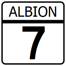
'''Albion State Route 7''' ('''SR 7''') is a | '''Albion State Route 7''' ('''SR 7''') is a minor east-west state highway serving the southern subburbs of [[St. Clarke]]. | ||
==Major intersections== | ==Major intersections== | ||
Latest revision as of 04:51, 15 March 2024
| Route information | |
|---|---|
| Length | 87 mi (140 km) |
| Existed | 1915–present |
| Major junctions | |
| West end | |
| North end | |
Albion State Route 7 (SR 7) is a minor east-west state highway serving the southern subburbs of St. Clarke.
Major intersections
| County | Location | Destination |
|---|---|---|
| James | Wilton | |
| Garland | ||
| Stone | ||
| Oakwood | South | |
| Brookfield | ||
| Grant | St. Clarke River | |
| Woodbury | ||
