Template:Maucha labelled map: Difference between revisions
Jump to navigation
Jump to search
No edit summary |
No edit summary |
||
| Line 1: | Line 1: | ||
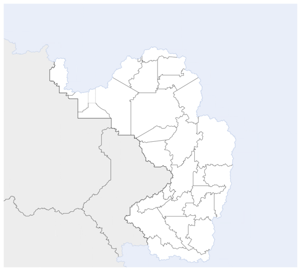
{{Image label begin|image= | {{Image label begin|image=Mauchastatesmap3.png|width={{{width|600}}}|float={{{float|none}}}|link=}} | ||
{{Image label small|x=-565.0|y=-510.0|scale={{{width|-1}}} |text=[[File:Circle-information.svg|20px|about this map|link=Template:Maucha labelled map]]}}<!-- | {{Image label small|x=-565.0|y=-510.0|scale={{{width|-1}}} |text=[[File:Circle-information.svg|20px|about this map|link=Template:Maucha labelled map]]}}<!-- | ||
===== DISTRICT LEVEL ===== | ===== DISTRICT LEVEL ===== | ||
--> | --> | ||
{{Image label small|x=-186.5|y=- | {{Image label small|x=-186.5|y=-198.0|scale={{{width|-1}}}|text=[[Ghuba Corridor|'''*''']]}} | ||
{{Image label small|x=-308|y=-522|scale={{{width|-1}}}|text=[[Greater Garama Bay City|'''**''']]}} | {{Image label small|x=-308|y=-522|scale={{{width|-1}}}|text=[[Greater Garama Bay City|'''**''']]}} | ||
{{Image label small|x=-121.0|y=- | {{Image label small|x=-121.0|y=-151.0|scale={{{width|-1}}}|text=[[Ibabochia|1]]}} | ||
{{Image label small|x=-236.0|y=-205.0|scale={{{width|-1}}}|text=[[Federal Territory of Harara|2]]}} | {{Image label small|x=-236.0|y=-205.0|scale={{{width|-1}}}|text=[[Federal Territory of Harara|2]]}} | ||
{{Image label small|x=-166.0|y=-200.5|scale={{{width|-1}}}|text=[[Federal Territory of Harara|2]]}} | {{Image label small|x=-166.0|y=-200.5|scale={{{width|-1}}}|text=[[Federal Territory of Harara|2]]}} | ||
{{Image label small|x=-188.0|y=-223.0|scale={{{width|-1}}}|text=[[Mauchian Kuloland|3]]}} | {{Image label small|x=-188.0|y=-223.0|scale={{{width|-1}}}|text=[[Mauchian Kuloland|3]]}} | ||
{{Image label small|x=-278.0|y=- | {{Image label small|x=-278.0|y=-110.0|scale={{{width|-1}}}|text=[[Kanyabahayadha|4]]}} | ||
{{Image label small|x=-260.0|y=- | {{Image label small|x=-260.0|y=-139.5.0|scale={{{width|-1}}}|text=[[Yalansa State|5]]}} | ||
{{Image label small|x=-306.0|y=- | {{Image label small|x=-306.0|y=-110.0|scale={{{width|-1}}}|text=[[Watisa State|6]]}} | ||
{{Image label small|x=-297.0|y=-156.0|scale={{{width|-1}}}|text=[[Untere Feda State|7]]}} | {{Image label small|x=-297.0|y=-156.0|scale={{{width|-1}}}|text=[[Untere Feda State|7]]}} | ||
{{Image label small|x=- | {{Image label small|x=-314.0|y=-221.0|scale={{{width|-1}}}|text=[[Obere Feda State|8]]}} | ||
{{Image label small|x=- | {{Image label small|x=-345.0|y=-133|scale={{{width|-1}}}|text=[[Kikomakoma State|9]]}} | ||
{{Image label small|x=-354|y=- | {{Image label small|x=-354|y=-164|scale={{{width|-1}}}|text=[[Nyekundu State|10]]}} | ||
{{Image label small|x=- | {{Image label small|x=-378|y=-197|scale={{{width|-1}}}|text=[[Red Nation|11]]}} | ||
{{Image label small|x=-318|y=-268|scale={{{width|-1}}}|text=[[Ngauma State|13]]}} | {{Image label small|x=-318|y=-268|scale={{{width|-1}}}|text=[[Ngauma State|13]]}} | ||
{{Image label small|x=-312|y=-310|scale={{{width|-1}}}|text=[[Obere Iwoye State|14]]}} | {{Image label small|x=-312|y=-310|scale={{{width|-1}}}|text=[[Obere Iwoye State|14]]}} | ||
{{Image label small|x=-370|y=-283|scale={{{width|-1}}}|text=[[Makadena State|15]]}} | {{Image label small|x=-370|y=-283|scale={{{width|-1}}}|text=[[Makadena State|15]]}} | ||
{{Image label small|x=-432|y=-297|scale={{{width|-1}}}|text=[[Pfenhafen State|17]]}} | {{Image label small|x=-432|y=-297|scale={{{width|-1}}}|text=[[Pfenhafen State|17]]}} | ||
{{Image label small|x=-365|y=-358|scale={{{width|-1}}}|text=[[Mhlanga State|18]]}} | {{Image label small|x=-365|y=-358|scale={{{width|-1}}}|text=[[Mhlanga State|18]]}} | ||
