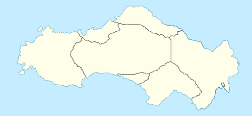
Template:Satavia labelled map: Difference between revisions
Jump to navigation
Jump to search
mNo edit summary |
No edit summary |
||
| Line 4: | Line 4: | ||
===== PROVINCIAL LEVEL ===== | ===== PROVINCIAL LEVEL ===== | ||
--> | --> | ||
{{Image label small|x=- | {{Image label small|x=-47|y=-110|scale={{{width|-1}}}|text=[[Western Freestate]]}} | ||
{{Image label small|x=-200|y=-110|scale={{{width|-1}}}|text=[[Central Territory]]}} | {{Image label small|x=-200|y=-110|scale={{{width|-1}}}|text=[[Central Territory]]}} | ||
{{Image label small|x=-370|y=-130|scale={{{width|-1}}}|text=[[Hope Province]]}} | {{Image label small|x=-370|y=-130|scale={{{width|-1}}}|text=[[Hope Province]]}} | ||
{{Image label small|x=- | {{Image label small|x=-305|y=-165|scale={{{width|-1}}}|text=[[Pioneerstaat Province|Pioneerstaat]]}} | ||
{{Image label small|x=-440|y=-190|scale={{{width|-1}}}|text=[[Port Hope|NCD]]}} | {{Image label small|x=-440|y=-190|scale={{{width|-1}}}|text=[[Port Hope|NCD]]}} | ||
{{Image label small|x=-200|y=-157|scale={{{width|-1}}}|text=[[New Borland]]}} | {{Image label small|x=-200|y=-157|scale={{{width|-1}}}|text=[[New Borland]]}} | ||
{{Image label small|x=-250|y=-35|scale={{{width|-1}}}|text=[[Orange Province]]}} | {{Image label small|x=-250|y=-35|scale={{{width|-1}}}|text=[[Orange Province]]}} | ||
{{Image label small|x=- | {{Image label small|x=-175|y=-65|scale={{{width|-1}}}|text=[[Gaulegrond Freestate|Gaulegrond]]}} | ||
<!-- | <!-- | ||
===== OTHER COUNTRIES ===== | ===== OTHER COUNTRIES ===== | ||
