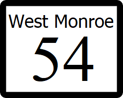
West Monroe State Highway 54
| Route information | |
|---|---|
| Length | 2,150 mi (3,460 km) |
| Existed | 1960–present |
| Major junctions | |
| South end | |
| North end | |
State Highway 54 (SH 54) is a highway that runs from SH 1 on the coast in Willmington to Ibican Route 64 in Sparta, near Louisville, Serving as the main connection from the nations capital to central eastern Ibica.
Route description
SH 54 begins at a surface intersection with SH 1, then runs northeast through downtown Willmington as a surface street, State Street. At an interchange with Interstate 610, the route becomes a controlled access freeway, and continues a such through the city of Shelby, where it meets SH 105. SH 54 continues northeast direction from Shelby as a four lane divided highway, passing through the cities of Howard, Taylor, and Ashland. The highway ends at an diverging diamond interchange with Ibican Route 64 in Sparta, with SH 189 continuing north from the other end of the interchange.
Major intersections
| County | Location | Destination |
|---|---|---|
| Freemont County | Willmington | |
| Carrington | ||
| Shelby County | Shelby | |
| Grayson County | Howard | |
| Taylor County | Taylor | |
| Lee County | Ashland | |
| Sparta |
