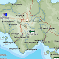
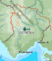
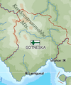
File:Map of Gotneska.png
Jump to navigation
Jump to search
Map_of_Gotneska.png (492 × 529 pixels, file size: 432 KB, MIME type: image/png)
Summary
File history
Click on a date/time to view the file as it appeared at that time.
| Date/Time | Thumbnail | Dimensions | User | Comment | |
|---|---|---|---|---|---|
| current | 06:17, 8 November 2024 |  | 492 × 529 (432 KB) | Gotneska (talk | contribs) | |
| 13:43, 25 October 2024 |  | 361 × 361 (70 KB) | Orioni (talk | contribs) | Update from 7 September 2024. | |
| 04:16, 9 April 2022 |  | 630 × 579 (554 KB) | Gotneska (talk | contribs) | ||
| 04:16, 2 March 2022 |  | 258 × 299 (74 KB) | Gotneska (talk | contribs) | New map with updated geography. | |
| 16:08, 21 January 2022 |  | 249 × 298 (17 KB) | Orioni (talk | contribs) | Category:Gotneska Category:Maps of Eurth |
You cannot overwrite this file.
File usage
The following page uses this file:
