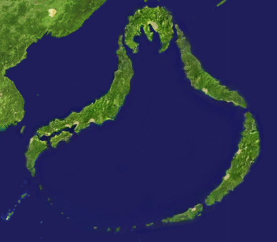
File:Hatsunia satellite map.jpg
Jump to navigation
Jump to search
Hatsunia_satellite_map.jpg (549 × 478 pixels, file size: 47 KB, MIME type: image/jpeg)
Summary
Image was generated using https://deepart.io and a vector silhouette of Hatsunia, then edited
File history
Click on a date/time to view the file as it appeared at that time.
| Date/Time | Thumbnail | Dimensions | User | Comment | |
|---|---|---|---|---|---|
| current | 07:39, 16 April 2021 |  | 549 × 478 (47 KB) | Hatsunia (talk | contribs) | |
| 07:30, 5 March 2020 |  | 549 × 478 (113 KB) | Hatsunia (talk | contribs) | ||
| 05:36, 12 August 2019 |  | 413 × 427 (39 KB) | Hatsunia (talk | contribs) | ||
| 17:29, 11 August 2019 |  | 413 × 427 (40 KB) | Hatsunia (talk | contribs) | Made with deepart.io, then edited https://commons.wikimedia.org/wiki/File:Japan_satellite.jpg |
You cannot overwrite this file.
File usage
The following page uses this file:
