File:Anglia elevation.png
Jump to navigation
Jump to search
Size of this preview: 800 × 459 pixels. Other resolution: 1,906 × 1,093 pixels.
Original file (1,906 × 1,093 pixels, file size: 183 KB, MIME type: image/png)
Summary
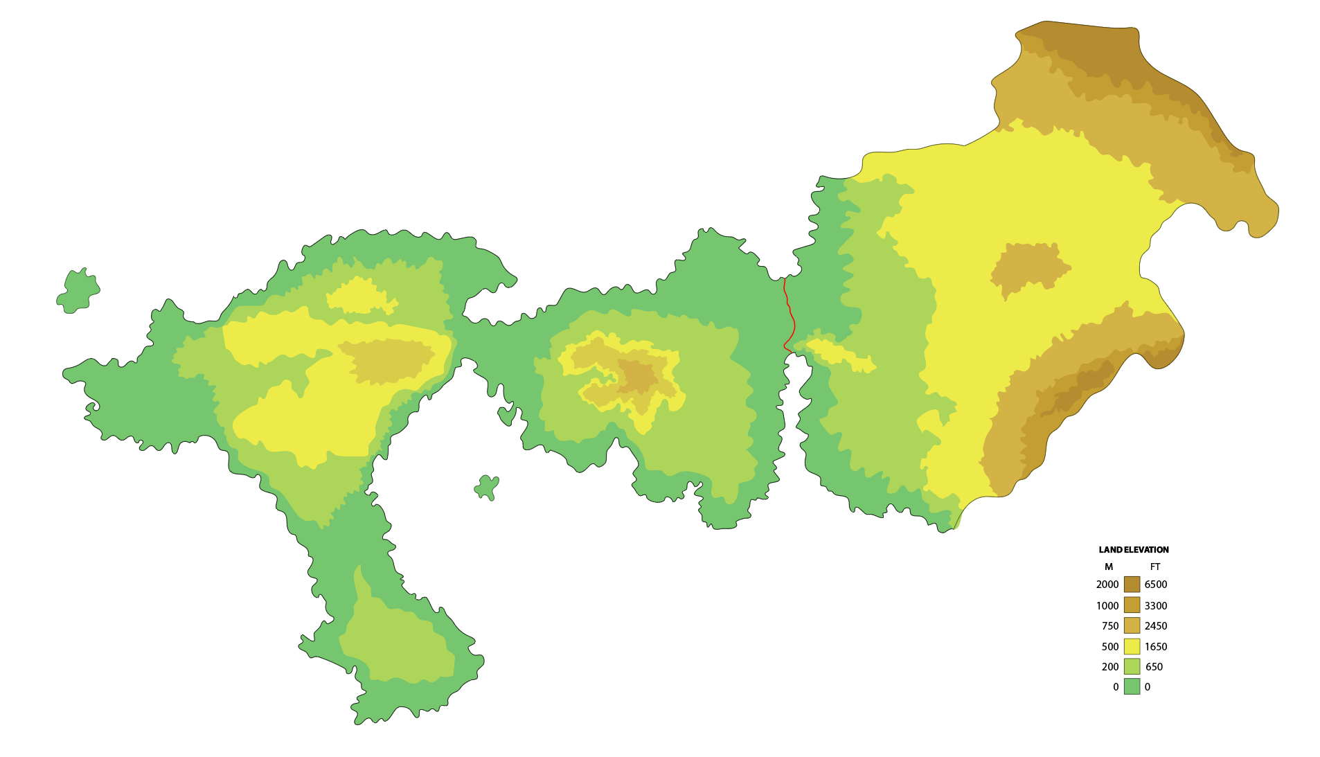
Map of Anglia's land elevation levels.
File history
Click on a date/time to view the file as it appeared at that time.
| Date/Time | Thumbnail | Dimensions | User | Comment | |
|---|---|---|---|---|---|
| current | 19:09, 1 March 2023 | | 1,906 × 1,093 (183 KB) | Seylos (talk | contribs) | Map of Anglia's land elevation levels. |
You cannot overwrite this file.
File usage
The following page uses this file: