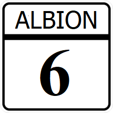
Albion State Route 6
Jump to navigation
Jump to search
| Route information | |
|---|---|
| Length | 196 mi (315 km) |
| Existed | 1915–present |
| Major junctions | |
| South end | |
| North end | |
Albion State Route 6 (SR 6) is a north-south major state highway running from the central city of San Marcos, northwest to Kemah in the western part of the state, the north paralleling the Albion River north to Lufkin in the St. Clarke region.
Major intersections
| County | Location | Destination |
|---|---|---|
| Leight | San Marcos | |
| Plains | Prairieview | |
| Suffolk | Suffolk | |
| Suffolk River | ||
| Kinney | Rockdale | |
| Kemah | Kemah | |
| South | ||
| Virginia | North | |
| Suffolk River | ||
| Powell | Powell | |
| Alice | Riverside | |
| Fayette | Fayetteville | |
| Charles River | ||
| Orange | Driver | |
| James | Wilton | |
| Lufkin | Mokena | |
| Lufkin | ||
