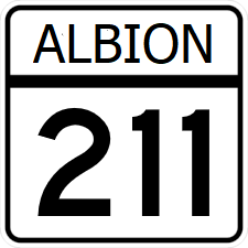
|
| Length | 267 mi (430 km) |
|---|
| Existed | 1946–present |
|---|
|
| South end |   in Trenton in Trenton |
|---|
| | |
|---|
| West end |  in Lebannon in Lebannon |
|---|
Albion State Route 211 (SR 211) is a north-south major state highway. The highway acts as an eastern alternate route of S.R. 99, paralelling it for its entire route, begining and ended at junctions with it.
Major intersections
| County
|
Location
|
Destination
|
| Park
|
Trenton
|
  - Marble City, Brownwood, Luttrell - Marble City, Brownwood, Luttrell
|
 - St. Clarke, Junction - St. Clarke, Junction
|
 - St. Clarke, Junction - St. Clarke, Junction
|
| Lark River
|
| Brown
|
Brownwood
|
 - Rockwall, Briggs - Rockwall, Briggs
|
| Kinney
|
Rockdale
|
 - Kemah, Suffolk - Kemah, Suffolk
|
| Rains River
|
| Dunn
|
Charles River
|
| Grandview
|
  - Anthony - Anthony
|
 - Downtown - Downtown
|
| Charles
|
Charleston
|
 - Cairns, Winsea - Cairns, Winsea
|
| Chester
|
 - Alice, Cadott - Alice, Cadott
|
| Welsey
|
Seymour
|
 - Hampton, Weschester - Hampton, Weschester
|
| Levant
|
Lebannon
|
 - Hampton, Tyler - Hampton, Tyler
|
