Kharmaaqtuq
Jump to navigation
Jump to search
High Kunursrauki of Kharmaaqtuq ᑲᒫᖅᑐᖅ or Kharmaaqtuq | |
|---|---|
|
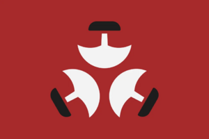
Flag | |
| Motto: ᕼin Mikali Pâkuk Liipini Okkur! The Great Pakuk Guides Us! | |
| Capital and largest city | Nunalipaujaqtalluit |
| Recognised national languages | Maaq, Drukhod, Kharmaaq |
| Recognised regional languages | Nunilamaaq, Vasalpinian |
| Other languages | Old Talaamaaq, Nunaliapaujaqtallluiti, Old Drukhod, Ké Cha Lendi |
| Ethnic groups | |
| Religion |
|
| Demonym(s) | Kharmaaq |
| Government | Centralised Confederated Elective Tribal Monarchy |
• ᕼaarkunugurq (High King) | Pâkuk |
• Aisiti Silliqtuq (Chief Elder) | Tomkin Vuraisaan |
| Tenzin III of the House of Tshewang | |
| Establishment | |
• Bokhpa Gyelkhonate | ≈ 200 AE - 701 IE |
• Great Migration | 235 IE - 241 IE |
• Intermixing Period | 241 IE - 701 IE |
• Collapse of the Gyelkhonate | 701 IE |
• Maaq Invasion | 706 IE - 726 IE |
• Kharmaaq Culture Arises | 726 IE - 812 IE |
• First Kharmaaq Golden Age | 815 IE - 875 IE |
• Bokhpa Uprising and Wars | 875 IE - 890 IE |
• Peace in the Islands Period | 890 IE - 1350 IE |
• Reign of Pâkuk | 1350 IE - Present Day |
| Area | |
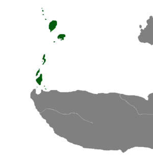
• Total | 36,040 km2 (13,920 sq mi) |
| Population | |
• 1380 estimate | ≈750,000 |
• Density | 18.03/km2 (46.7/sq mi) |
| Currency | Gujaaltimitiul (ᒍ) |


