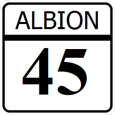
Albion State Route 45
Jump to navigation
Jump to search
| Route information | |
|---|---|
| Length | 355 mi (571 km) |
| Existed | 1921–present |
| Major junctions | |
| East end | |
| West end | |
Albion State Route 45 (SR 45) is a east-west major state highway crossing Albion. Its western terminus is at the Albion River near Rockwall. Its eastern terminus is in northern Troy.
Major intersections
| County | Location | Destination |
|---|---|---|
| Rockwall | Albion River | |
| Rockwall | ||
| Brown | Brownwood | |
| Lark | Briggs | |
| Leslie | ||
| Hill | Williamsburg | |
| Lark River | ||
| Sampson | Concord | |
| Warner | Dedham | |
| French | Rice | |
| Reagan | Grandview | |
| Reagan | ||
| Cobb | Plano | |
| Wells | Sullivan | |
| Troy | Troy | |
