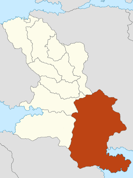
File:Kingdom of Uppsund Map.png
Jump to navigation
Jump to search

Size of this preview: 450 × 600 pixels. Other resolution: 1,920 × 2,560 pixels.
Original file (1,920 × 2,560 pixels, file size: 300 KB, MIME type: image/png)
Summary
File history
Click on a date/time to view the file as it appeared at that time.
| Date/Time | Thumbnail | Dimensions | User | Comment | |
|---|---|---|---|---|---|
| current | 17:43, 20 January 2023 | | 1,920 × 2,560 (300 KB) | Ahrana (talk | contribs) | Regional Structure has changed in number of Member States. |
| 22:16, 26 December 2022 | 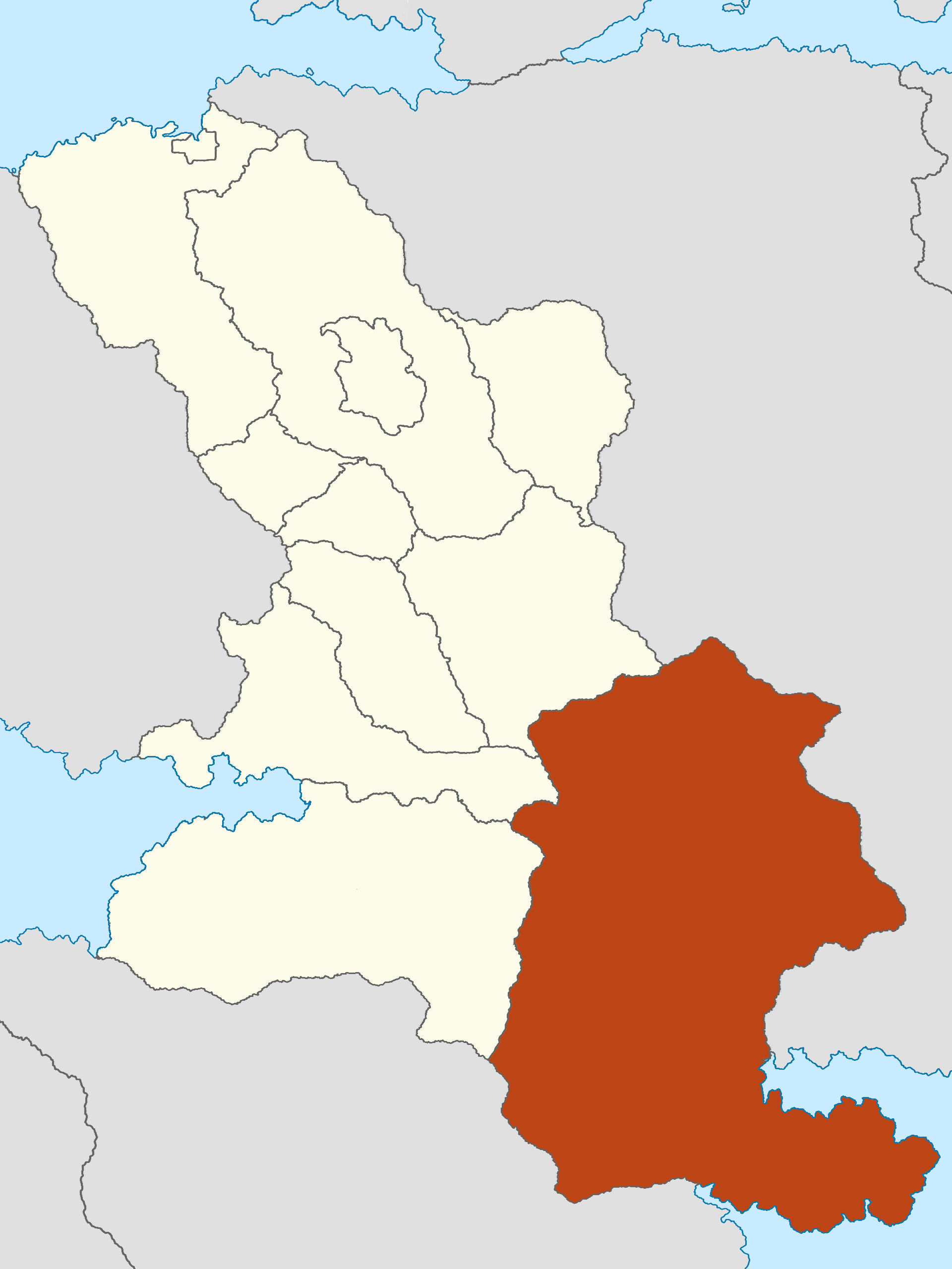 | 1,920 × 2,560 (310 KB) | Ahrana (talk | contribs) | ||
| 18:25, 23 November 2022 | 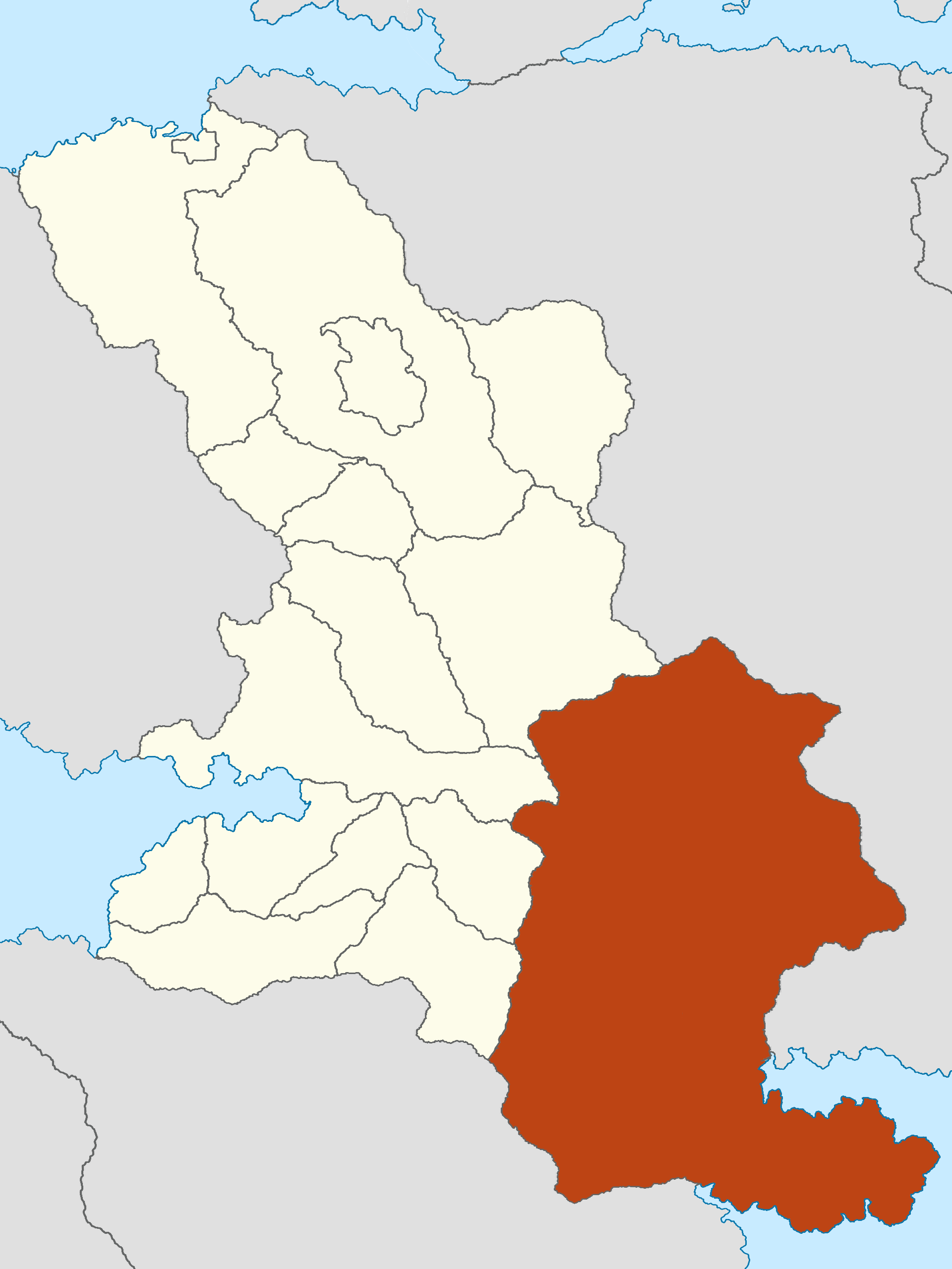 | 1,920 × 2,560 (335 KB) | Ahrana (talk | contribs) | Category: Ahrana Category: Maps (Eurth) |
You cannot overwrite this file.
File usage
There are no pages that use this file.