Vismar Sea
| Vismar Sea | |
|---|---|
 | |
| Location | Veterra |
| Basin countries | Hellona, Nambalonia, the United South German States |
| Average depth | 55 m (180 ft) |
| Max. depth | 457 m (1,499 ft) |
| Islands | Nambalonic Isles |
| Settlements | |
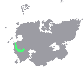
The 'Vismar Sea (German: Vismarer see; Hellonian: Vismar zee) is a sea of the Danonian Ocean, enclosed by Hellona, the South German States, and the Nambalonic Isles. It includes the Gulf of Schwaben, the Bay of Achedschwam, and the Bay of Seieren. A mediterranean sea of the Danonian, with limited water exchange between the two bodies, the Vismar Sea drains through the Nambalonic islands into the Kattegat by way of the straits of Nambalonia. The Vismar Proper is bordered on its northern edge, by the Gulf of Hellamania and the Hellonian and Northern South German coast, on its eastern edge by the Gulf of Schwaben, and in the West by the Novaki Gulf.
The name comes from fiskaz mari, which roughly means the sea of fish, which comes from the huge amounts of fish in the region. It gives its name to the region of Vismar, which is a ethno-linguistic region of the Vismaric states of Hellona, Nambalonia and the South German States.