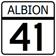
Albion State Route 41: Difference between revisions
Jump to navigation
Jump to search
(Created page with "right|300px {{Infobox road |length_mi=342 |length_ref= |formed=1921 |direction_a=West |terminus_a= 25px|link=Petra State Highway 41 at the Albion River |junction={{plainlist| *25px|link=Interstate 75 *25px|link=Ibican Route 74 *25px|link=Ibican Route 5 *25px|link=Interstate 85 }} |direction_b=East |terminus_b=25px|link=Ibican Route 50 in [...") |
No edit summary |
||
| Line 1: | Line 1: | ||
[[File:AL- | [[File:AL-41.png|right|300px]] | ||
{{Infobox road | {{Infobox road | ||
|length_mi=342 | |length_mi=342 | ||
Latest revision as of 02:40, 5 March 2024
| Route information | |
|---|---|
| Length | 342 mi (550 km) |
| Existed | 1921–present |
| Major junctions | |
| West end | |
| East end | |
Albion State Route 41 (SR 41) is a east-west major state highway crossing northwest Albion. Its western terminus is at the Albion River in Fayetteville. Its eastern terminus is at Ibican Route 50 in Jonestown.
Major intersections
| County | Location | Destination |
|---|---|---|
| Petra State Line | Albion River | |
| Lipscomb | Winsea | |
| Warroad | Hampton | |
| Wesley | Seymour | |
| Weschester | ||
| Laurel | Laurel | |
| St. Clarke River | ||
| Floyd | ||
| Rainbridge | Susnet | |
| Queen | Queen City | |
| Serio | Reston | |
| Utah | Jonestown | |
